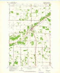
1962 Map of Greenbush
USGS Topo · Published 1964About this map
The Greenbush settlement serves as the central hub of this Roseau County survey, situated at the junction of the Great Northern railroad and State Highway 11. The surrounding landscape is defined by the agricultural grid and water management features like State Ditch No 91 and the South Branch Two Rivers. Local history and genealogy are well-represented by a cluster of named burial grounds including Bethania Cem, Bethel Cem, and Blessed Sacrament Cem, providing specific points of interest for family researchers. The infrastructure of the early 1960s is further detailed with the Greenbush Airport, a Radio Tower, and several extraction sites marked as Gravel Pit. The map also captures the local recreation and transit network, featuring a Roadside Park near the town center.
Find a feature on this map
22 named features on this map. Tap any name to fly to it.
Don’t see what you’re looking for? This feature index may not catch every label — zoom into the map to look around manually.
Map Details
Editions of this 1962 Greenbush Map
This is the sole edition of this map. No revisions or reprints were ever made.
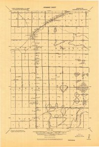
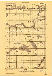
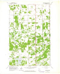
Other maps of this area
1918 · Greenbush
USGS Topo · 1:62,500

1919 · Pelan
USGS Topo · 1:62,500
1919 · Badger
USGS Topo · 1:62,500

1930 · Juneberry
USGS Topo · 1:31,680

1932 · Juneberry
USGS Topo · 1:62,500

1952 · Thief River Falls
USGS Topo · 1:250,000

1956 · Thief River Falls
USGS Topo · 1:250,000

1957 · Thief River Falls
USGS Topo · 1:250,000

1957 · Pelan
USGS Topo · 1:62,500
1962 · Strathcona
USGS Topo · 1:24,000