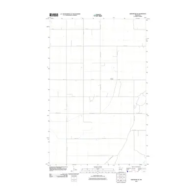
2010 Map of Greenbush SE
USGS Topo · Published 2010About this map
Lorenson Cemetery serves as a primary local landmark in this rural section of Roseau County, positioned along the straight thoroughfare of 120th St. The landscape is defined by the rigid grid of the Public Land Survey System, where agricultural sections are neatly partitioned by a network of county roads including County Hwy-109, County Hwy-8, and County Hwy-25. This 2010 survey reflects a period of established rural infrastructure, where transport is heavily reliant on these numbered corridors and secondary avenues like 240th Ave and 260th Ave. The absence of large urban centers or dense industry highlights a quiet, farm-dominated geography focused on connectivity between small family plots and local intersections like those found along County Hwy-108.
Find a feature on this map
17 named features on this map. Tap any name to fly to it.
Don’t see what you’re looking for? This feature index may not catch every label — zoom into the map to look around manually.
Map Details
Editions of this 2010 Greenbush SE Map
This is the sole edition of this map. No revisions or reprints were ever made.
Other maps of this area

1918 · Rollis
USGS Topo · 1:62,500

1918 · Garland
USGS Topo · 1:62,500

1918 · Greenbush
USGS Topo · 1:62,500

1918 · Middle River
USGS Topo · 1:62,500

1943 · Rollis
USGS Topo · 1:62,500

1952 · Thief River Falls
USGS Topo · 1:250,000

1954 · Roseau
USGS Topo · 1:250,000

1956 · Thief River Falls
USGS Topo · 1:250,000

1957 · Roseau
USGS Topo · 1:250,000

1957 · Thief River Falls
USGS Topo · 1:250,000