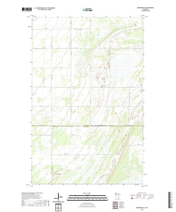
2022 Map of Greenbush SE
USGS Topo · Published 2022About this map
Roseau and Marshall County borderlands define this agricultural and wetland landscape in northern Minnesota. The survey area is primarily characterized by a grid-like road network and significant drainage infrastructure, most notably the Judicial Ditch Number Nineteen which cuts across the central terrain. For local historians and genealogists, the Lorenson Cem stands as a primary landmark of the area's settled history, situated along Co Rd 109. The southern portion of the map transitions into more managed natural space, marked by the presence of the Consolidated Conservation Trails Trl. The topography is exceptionally flat, typical of the Red River Valley region, with numerous unnamed wetlands interspersed between section lines and county roads like Co Rd 6 and Co Line Rd Ne.
Find a feature on this map
25 named features on this map. Tap any name to fly to it.
Don’t see what you’re looking for? This feature index may not catch every label — zoom into the map to look around manually.
Map Details
Editions of this 2022 Greenbush SE Map
This is the sole edition of this map. No revisions or reprints were ever made.
Other maps of this area

1918 · Rollis
USGS Topo · 1:62,500

1918 · Garland
USGS Topo · 1:62,500

1918 · Greenbush
USGS Topo · 1:62,500

1918 · Middle River
USGS Topo · 1:62,500

1943 · Rollis
USGS Topo · 1:62,500

1952 · Thief River Falls
USGS Topo · 1:250,000

1954 · Roseau
USGS Topo · 1:250,000

1956 · Thief River Falls
USGS Topo · 1:250,000

1957 · Roseau
USGS Topo · 1:250,000

1957 · Thief River Falls
USGS Topo · 1:250,000