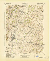
1944 Map of Greencastle
USGS Topo · Published 1944About this map
Greencastle serves as the central hub for this mid-century survey of Franklin County, Pennsylvania, which captures the region's agricultural and industrial infrastructure during the war years. The landscape is defined by the Pennsylvania railroad lines and the winding course of Conococheague Creek in the west, alongside Muddy Run and Marsh Run to the east. The rural character of townships like Antrim and Guilford is illustrated through a dense network of local landmarks, including the Shisham Lime Quarry and an old Grist Mill situated along the stream banks.
Find a feature on this map
37 named features on this map. Tap any name to fly to it.
Don’t see what you’re looking for? This feature index may not catch every label — zoom into the map to look around manually.
Map Details
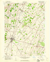
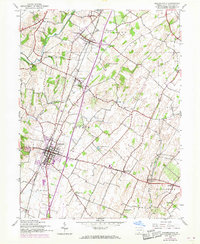
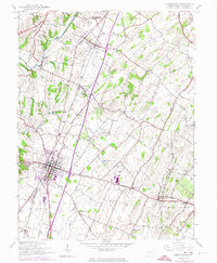
Editions of this 1944 Greencastle Map
4 editions found
Other maps of this area

1900 · Mercersburg
USGS Topo · 1:62,500

1902 · Chambersburg
USGS Topo · 1:62,500

1902 · Mercersburg
USGS Topo · 1:62,500

1909 · Hagerstown
USGS Topo · 1:48,000

1912 · Hagerstown
USGS Topo · 1:62,500

1912 · Williamsport
USGS Topo · 1:62,500

1942 · Hagerstown
USGS Topo · 1:125,000

1943 · Hagerstown
USGS Topo · 1:125,000

1943 · Chambersburg
USGS Topo · 1:62,500

1943 · Mercersburg
USGS Topo · 1:62,500