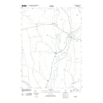
2010 Map of Greene
USGS Topo · Published 2010About this map
The Chenango River valley defines the character of this region, serving as the primary corridor for both transportation and settlement. The village of Greene sits at a strategic bend in the river, where it is met by Birdsall Brook and Genegantslet Creek. This late 20th-century landscape is marked by a network of rural hamlets and crossroads that have persisted through generations, including Genegantslet, Lower Genegantslet Corner, and Barnes Corners.
Find a feature on this map
69 named features on this map. Tap any name to fly to it.
Don’t see what you’re looking for? This feature index may not catch every label — zoom into the map to look around manually.
Map Details
Editions of this 2010 Greene Map
This is the sole edition of this map. No revisions or reprints were ever made.
Other maps of this area

1902 · Coventry
USGS Topo · 1:62,500

1904 · Binghamton
USGS Topo · 1:62,500

1904 · Greene
USGS Topo · 1:62,500

1904 · Oxford
USGS Topo · 1:62,500

1905 · Nineveh
USGS Topo · 1:62,500

1934 · Castle Creek
USGS Topo · 1:24,000

1935 · Chenango Forks
USGS Topo · 1:24,000

1942 · Castle Creek
USGS Topo · 1:31,680

1942 · Chenango Forks
USGS Topo · 1:31,680
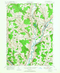
1948 · Greene
USGS Topo · 1:24,000