
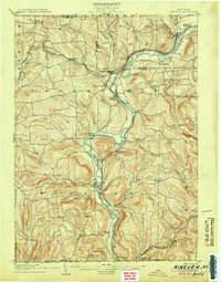
1948 Map of Greene
USGS Topo · Published 1968About this map
The Chenango River valley serves as the central artery for this mid-century portrait of Chenango County, where the village of Greene is positioned at a historic crossroads. The landscape is defined by the legacy of early transit, notably the Catskill Turnpike cutting through Barnes Corners and the Delaware Lackawanna and Western RR tracing the river's path. Small hamlets like Genegantslet and Lower Genegantslet Corner follow the winding Genegantslet Creek, illustrating a settlement pattern tied closely to the region's watercourses.
Find a feature on this map
39 named features on this map. Tap any name to fly to it.
Don’t see what you’re looking for? This feature index may not catch every label — zoom into the map to look around manually.
Map Details
Editions of this 1948 Greene Map
This is the sole edition of this map. No revisions or reprints were ever made.
Other maps of this area

1902 · Coventry
USGS Topo · 1:62,500

1904 · Binghamton
USGS Topo · 1:62,500

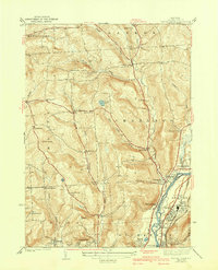
1904 · Greene
USGS Topo · 1:62,500

1904 · Oxford
USGS Topo · 1:62,500
1905 · Nineveh
USGS Topo · 1:62,500

1934 · Castle Creek
USGS Topo · 1:24,000

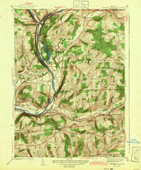
1935 · Chenango Forks
USGS Topo · 1:24,000
1942 · Castle Creek
USGS Topo · 1:31,680
1942 · Chenango Forks
USGS Topo · 1:31,680
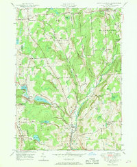
1948 · Smithville Flats
USGS Topo · 1:24,000