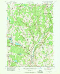
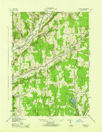
1948 Map of Smithville Flats
USGS Topo · Published 1968About this map
Genegantslet Creek serves as the primary drainage through this corner of Chenango County, carving a path that historically dictated the layout of valley floor settlements. In the village of Smithville Flats, the presence of a Gaging Sta and Maple Grove Cem reflects a community anchored by the river's flow and established family lineages. The landscape is characterized by a high density of wetlands and family-named landmarks, such as Hopkins Swamp and Keater Hill, which suggest a terrain that resisted heavy development but supported localized farming and timbering.
Find a feature on this map
63 named features on this map. Tap any name to fly to it.
Don’t see what you’re looking for? This feature index may not catch every label — zoom into the map to look around manually.
Map Details
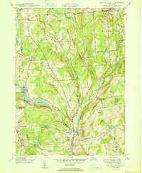
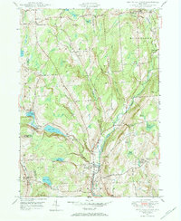
Editions of this 1948 Smithville Flats Map
3 editions found
Other maps of this area

1902 · Coventry
USGS Topo · 1:62,500

1903 · Norwich
USGS Topo · 1:62,500

1904 · Greene
USGS Topo · 1:62,500

1904 · Oxford
USGS Topo · 1:62,500

1904 · Pitcher
USGS Topo · 1:62,500

1943 · Cincinnatus
USGS Topo · 1:24,000

1943 · East Pharsalia
USGS Topo · 1:24,000

1943 · Pitcher
USGS Topo · 1:24,000
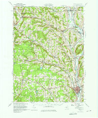
1943 · Norwich
USGS Topo · 1:62,500
1944 · Pitcher
USGS Topo · 1:31,680