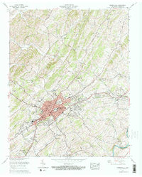
1961 Map of Greeneville
USGS Topo · Published 1964About this map
Greeneville serves as the focal point of this 1961 survey, showing the town's mid-century footprint alongside the Southern railroad lines and the historic Greeneville National Cemetery. The map captures a transition from the urban core, featuring the Courthouse and Post Office, to the collegiate grounds of Tusculum College in the east. Local history and genealogy are well-represented by numerous rural congregations such as Hoover Ch, Hardin Chapel, and Shiloh Ch, alongside family landmarks like the Alexander Mill on the Nolichucky River.
Find a feature on this map
75 named features on this map. Tap any name to fly to it.
Don’t see what you’re looking for? This feature index may not catch every label — zoom into the map to look around manually.
Map Details
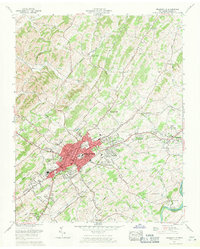
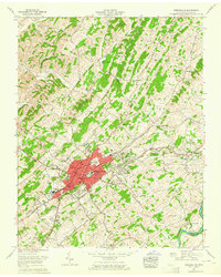
Editions of this 1961 Greeneville Map
3 editions found
Other maps of this area

1892 · Greeneville
USGS Topo · 1:125,000

1896 · Greeneville
USGS Topo · 1:125,000

1904 · Greeneville
USGS Topo · 1:125,000

1935 · Surgoinsville
USGS Topo · 1:48,000

1935 · Baileyton
USGS Topo · 1:24,000

1935 · McCloud
USGS Topo · 1:24,000

1935 · Mosheim
USGS Topo · 1:24,000

1935 · Cedar Creek
USGS Topo · 1:24,000

1935 · Fall Branch
USGS Topo · 1:48,000
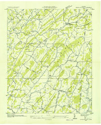
1935 · Jearoldstown
USGS Topo · 1:24,000