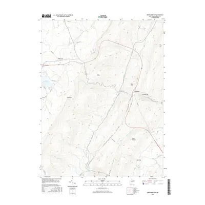
2016 Map of Greenland Gap
USGS Topo · Published 2016About this map
Greenland Gap cuts through the high ridges of the Allegheny Front, serving as a geological gateway for the drainage of the N Fork Patterson Cr and Middle Fork Patterson Cr. This modern survey illustrates a rural West Virginia landscape where historical settlement patterns at Bismarck, Scherr, and Greenland persist alongside contemporary features like Mount Storm Lake. The map reveals the intricate connection between topography and transit, tracing the American Discovery Trail as it follows the Col Lyons-Tom May Rd through the mountain passes. Local history remains visible through features like the Reel School and Brick Church Spring, situated near Cosner Gap. The terrain is dominated by prominent elevations including Knobly Mountain, New Creek Mtn, and the Fore Knobs, which dictate the winding paths of roads like Bismark Rd and Corridor H.
Find a feature on this map
50 named features on this map. Tap any name to fly to it.
Don’t see what you’re looking for? This feature index may not catch every label — zoom into the map to look around manually.
Map Details
Editions of this 2016 Greenland Gap Map
This is the sole edition of this map. No revisions or reprints were ever made.
Other maps of this area

1895 · Piedmont
USGS Topo · 1:125,000

1899 · Oakland
USGS Topo · 1:62,500

1900 · Oakland
USGS Topo · 1:62,500

1916 · Davis
USGS Topo · 1:48,000

1918 · Davis
USGS Topo · 1:62,500

1919 · Elk Garden
USGS Topo · 1:48,000

1919 · Davis
USGS Topo · 1:62,500

1920 · Elk Garden
USGS Topo · 1:48,000

1920 · Davis
USGS Topo · 1:48,000

1921 · Greenland Gap
USGS Topo · 1:62,500