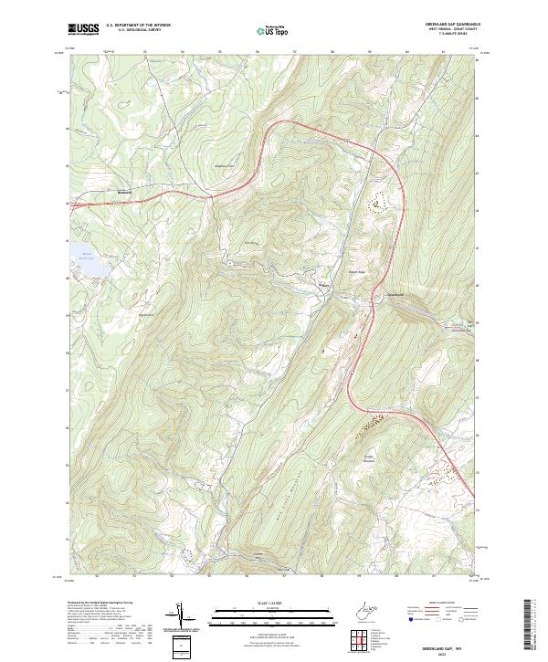
2023 Map of Greenland Gap
USGS Topo · Published 2023About this map
Bismarck and the high ridges of the Allegheny Front anchor this Grant County landscape, where modern infrastructure meets the ancient Appalachian terrain. The contemporary footprint of Mount Storm Lake and the Stony River Dam in the west contrast with the rural heritage of the Brick Church and settlements like Scherr and Greenland. The map documents a complex drainage system where North Fork Patterson Creek and Middle Fork Patterson Creek carve through the prominent ridges of Knobly Mountain and New Creek Mountain.
Find a feature on this map
47 named features on this map. Tap any name to fly to it.
Don’t see what you’re looking for? This feature index may not catch every label — zoom into the map to look around manually.
Map Details
Editions of this 2023 Greenland Gap Map
This is the sole edition of this map. No revisions or reprints were ever made.
Other maps of this area

1895 · Piedmont
USGS Topo · 1:125,000

1899 · Oakland
USGS Topo · 1:62,500

1900 · Oakland
USGS Topo · 1:62,500

1916 · Davis
USGS Topo · 1:48,000

1918 · Davis
USGS Topo · 1:62,500

1919 · Elk Garden
USGS Topo · 1:48,000

1919 · Davis
USGS Topo · 1:62,500

1920 · Elk Garden
USGS Topo · 1:48,000

1920 · Davis
USGS Topo · 1:48,000

1921 · Greenland Gap
USGS Topo · 1:62,500