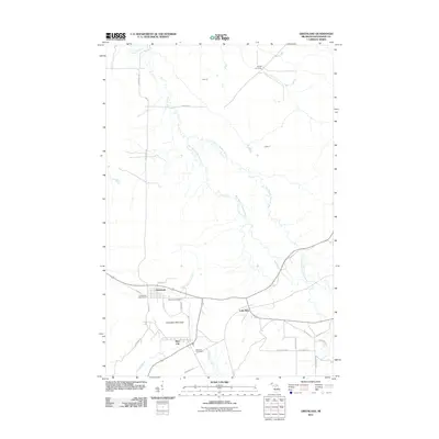
2011 Map of Greenland
USGS Topo · Published 2011About this map
Greenland and nearby Mass City form the primary hubs of activity in this part of Michigan's Upper Peninsula. The landscape is defined by the winding course of the Firesteel River and its various branches, including the West Branch and East Branch, which carve through the terrain north of the settlements. Standing between the two towns is Adventure Mountain, a prominent landmark that overlooks Adventure Creek.
Find a feature on this map
30 named features on this map. Tap any name to fly to it.
Don’t see what you’re looking for? This feature index may not catch every label — zoom into the map to look around manually.
Map Details
Editions of this 2011 Greenland Map
This is the sole edition of this map. No revisions or reprints were ever made.
Other maps of this area

1949 · Rockland
USGS Topo · 1:62,500

1950 · Greenland
USGS Topo · 1:62,500

1951 · Rockland
USGS Topo · 1:62,500

1951 · Greenland
USGS Topo · 1:62,500

1954 · Rousseau
USGS Topo · 1:62,500

1954 · Winona
USGS Topo · 1:62,500

1958 · Iron River
USGS Topo · 1:250,000

1960 · Iron River
USGS Topo · 1:250,000

1961 · Iron River
USGS Topo · 1:250,000

1967 · Iron River
USGS Topo · 1:250,000