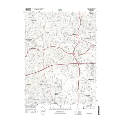
2016 Map of Greenlawn
USGS Topo · Published 2016About this map
Commack and Dix Hills occupy the heart of this Long Island landscape, characterized by the dense suburban gridiron that developed across Suffolk County by the mid-2010s. The map illustrates a complex transportation web where major motorways intersect, including the distinctive Dix Hills Road Bridge. Historically significant sites for genealogists include the Pilgrim State Psychiatric Cem and Holy Cross Cem near Kings Park. The Long Island railroad corridors remain central to the layout of communities like Huntington Station and Wyandanch. In the southern portion of the sheet, the terrain transitions toward the shoreline communities of North Bay Shore and Bay Wood, while the elevation rises toward Signal Hill in the west. These residential patterns, punctuated by Wyandanch Spring Lake, reflect the intensive mid-century and later development of the region.
Find a feature on this map
550 named features on this map. Tap any name to fly to it.
Don’t see what you’re looking for? This feature index may not catch every label — zoom into the map to look around manually.
Map Details
Editions of this 2016 Greenlawn Map
This is the sole edition of this map. No revisions or reprints were ever made.
Other maps of this area

1901 · Babylon
USGS Topo · 1:62,500

1901 · Northport
USGS Topo · 1:62,500

1902 · Setauket
USGS Topo · 1:62,500

1902 · Fire Island
USGS Topo · 1:62,500

1903 · Babylon
USGS Topo · 1:62,500

1903 · Northport
USGS Topo · 1:62,500

1903 · Fire Island
USGS Topo · 1:62,500

1904 · Setauket
USGS Topo · 1:62,500

1904 · Islip
USGS Topo · 1:125,000

1919 · Setauket
USGS Topo · 1:62,500