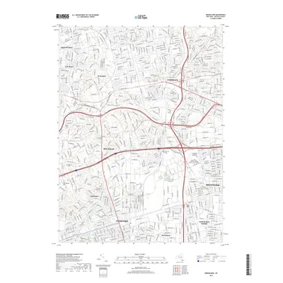
2019 Map of Greenlawn
USGS Topo · Published 2019About this map
The dense suburban landscape of Suffolk County is captured here at the end of the 2010s, showing the complex intersection of historic hamlets and major Long Island infrastructure. From the residential streets of Greenlawn and Elwood in the north to the industrial corridors of Deer Park and Brentwood in the south, the map illustrates how post-war growth transformed the island's interior. Significant institutional landmarks are prominent, including the large campus of Suffolk County Community College Michael J Grant Campus and the Pilgrim State Psychiatric Cem.
Find a feature on this map
41 named features on this map. Tap any name to fly to it.
Don’t see what you’re looking for? This feature index may not catch every label — zoom into the map to look around manually.
Map Details
Editions of this 2019 Greenlawn Map
This is the sole edition of this map. No revisions or reprints were ever made.
Other maps of this area

1901 · Babylon
USGS Topo · 1:62,500

1901 · Northport
USGS Topo · 1:62,500

1902 · Setauket
USGS Topo · 1:62,500

1902 · Fire Island
USGS Topo · 1:62,500

1903 · Babylon
USGS Topo · 1:62,500

1903 · Northport
USGS Topo · 1:62,500

1903 · Fire Island
USGS Topo · 1:62,500

1904 · Setauket
USGS Topo · 1:62,500

1904 · Islip
USGS Topo · 1:125,000

1919 · Setauket
USGS Topo · 1:62,500