
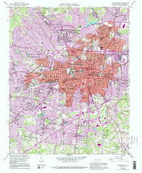
1962 Map of Greensboro
USGS Topo · Published 1962About this map
The Roanoke River valley and the Piedmont’s industrial heart are revealed in this 1962 revision, capturing a landscape of textile towns and tobacco markets. Centered on the border of Virginia and North Carolina, the map highlights the vast Kerr Reservoir and the developing infrastructure of the early 1960s. Rail transport remains a primary feature, with lines like the Seaboard Air Line RR and Virginian RR cutting through the countryside to connect manufacturing hubs.
Find a feature on this map
102 named features on this map. Tap any name to fly to it.
Don’t see what you’re looking for? This feature index may not catch every label — zoom into the map to look around manually.
Map Details
Editions of this 1962 Greensboro Map
This is the sole edition of this map. No revisions or reprints were ever made.
Historical Maps of Heritage Heights Through Time
9 maps found
1951 Greensboro
Guilford County, NC

1953 Greensboro
Guilford County, NC

1954 Greensboro
Guilford County, NC
1962 Greensboro
Guilford County, NC

1966 Greensboro
Guilford County, NC

1977 Greensboro
Guilford County, NC
1984 Greensboro
Guilford County, NC

1997 Greensboro
Guilford County, NC
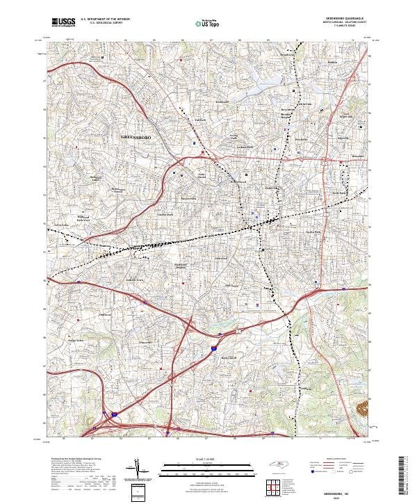
2022 Greensboro
Guilford County, NC