
1966 Map of Greensboro
USGS Topo · Published 1966About this map
Kerr Reservoir dominates the eastern landscape of this mid-century survey, illustrating the significant hydrological management along the Roanoke River and its tributaries like the Dan River. The region is defined by a dense network of transit and industry, centered around major hubs like Greensboro, Burlington, and Danville. Rail operations are central to the area's economy, with the Southern Railway and Seaboard Air Line Railroad connecting industrial centers to smaller settlements like South Boston and Henderson.
Find a feature on this map
90 named features on this map. Tap any name to fly to it.
Don’t see what you’re looking for? This feature index may not catch every label — zoom into the map to look around manually.
Map Details
Editions of this 1966 Greensboro Map
This is the sole edition of this map. No revisions or reprints were ever made.
Other maps of this area

1890 · Roanoke
USGS Topo · 1:125,000

1890 · Christiansburg
USGS Topo · 1:125,000

1891 · Roanoke
USGS Topo · 1:125,000

1891 · Farmville
USGS Topo · 1:125,000

1892 · Lynchburg
USGS Topo · 1:125,000

1892 · Appomattox
USGS Topo · 1:125,000
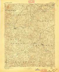
1893 · Farmville
USGS Topo · 1:125,000
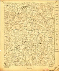
1897 · Amelia
USGS Topo · 1:125,000

1902 · Rocky Mount
USGS Topo · 1:62,500
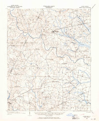
1902 · Spring Hope
USGS Topo · 1:62,500