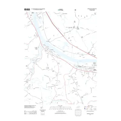
2013 Map of Greenup
USGS Topo · Published 2013About this map
Greenup sits as a central hub along the south bank of the Ohio River, where the Little Sandy River completes its winding course through the Kentucky hills. This riverine landscape is defined by the proximity of historically significant river landings and industrial sites, including Junior Landing and Ohio Furnace. The topography is etched with narrow hollows like California Hollow and Coal Bank Hollow, reflecting a legacy of resource extraction and early settlement patterns that followed the creek beds.
Find a feature on this map
220 named features on this map. Tap any name to fly to it.
Don’t see what you’re looking for? This feature index may not catch every label — zoom into the map to look around manually.
Map Details
Editions of this 2013 Greenup Map
This is the sole edition of this map. No revisions or reprints were ever made.
Other maps of this area

1898 · Ironton
USGS Topo · 1:62,500

1900 · Ironton
USGS Topo · 1:62,500

1901 · Ceredo
USGS Topo · 1:62,500

1903 · Kenova
USGS Topo · 1:125,000

1904 · Kenova
USGS Topo · 1:125,000

1913 · Ceredo
USGS Topo · 1:62,500

1926 · Greenup
USGS Topo · 1:48,000

1930 · Greenup
USGS Topo · 1:62,500

1953 · Oldtown
USGS Topo · 1:24,000
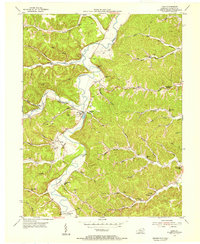
1953 · Load
USGS Topo · 1:24,000