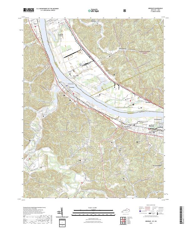
2022 Map of Greenup
USGS Topo · Published 2022About this map
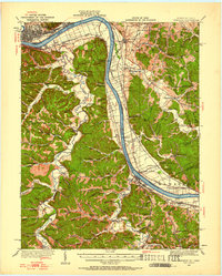
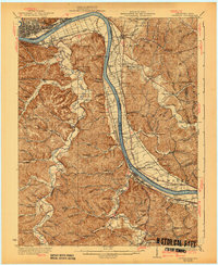
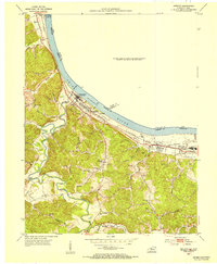
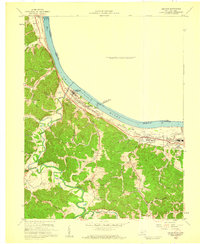
The Ohio River carves a deep valley through this industrial and agricultural landscape along the Kentucky and Ohio border. The settlement of Greenup serves as a focal point on the southern bank, containing the Greenup County Courthouse Annex and a concentration of historical infrastructure. The map reveals the area's industrial legacy through numerous named furnace sites including Junior Furnace, Franklin Furnace, and Ohio Furnace, which speak to the region's 19th-century iron production. Transport and topography are closely linked here, as the CSX Transportation line parallels the river, connecting riverside communities like Wurtland, Glendale, and Haverhill. To the south and east, the terrain transitions into the densely wooded ridges of the Wayne National Forest, where steep hollows like Coal Bank Hollow and Winkler Hollow drain toward the river. Genealogists will find a high density of small family and community burial grounds, such as Bumgarner Cem and Gilruth - Davisson Cem, tucked away in the upland valleys.
Find a feature on this map
139 named features on this map. Tap any name to fly to it.
Don’t see what you’re looking for? This feature index may not catch every label — zoom into the map to look around manually.
Map Details
Editions of this 2022 Greenup Map
This is the sole edition of this map. No revisions or reprints were ever made.
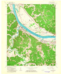
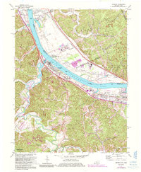
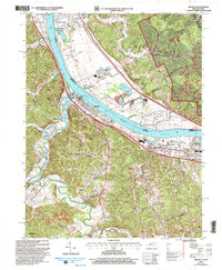
Historical Maps of Flatwoods Through Time
8 maps found