1926 Map of Greenup
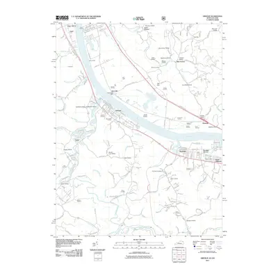
USGS Topo · Published 1958About this map
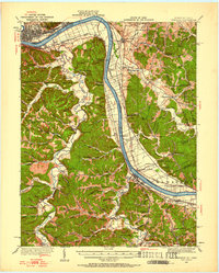
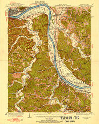
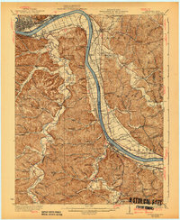
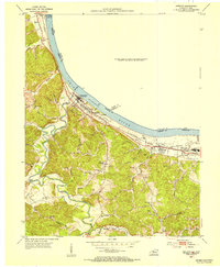
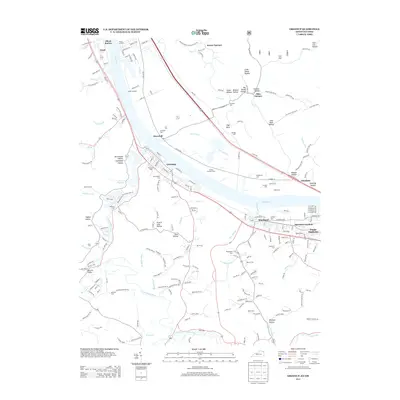
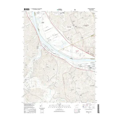
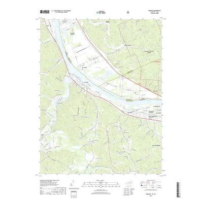
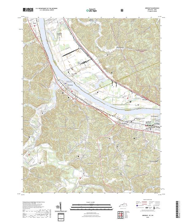
The Ohio River carves a massive bend through this borderland, serving as the primary industrial artery between Greenup County, Kentucky, and Scioto County, Ohio. The riverbank is densely packed with transportation infrastructure, including the Chesapeake and Ohio and Norfolk and Western railroads, alongside Dam No 30. While larger settlements like Portsmouth and South Portsmouth anchor the northwest, the interior is defined by a network of rural school districts and family-named hollows. Educational hubs such as Forest Academy School and Empire School are tucked into the hills, while local industry is represented by the Twin Oaks Mill near Wheelersburg. The transition from river-bottom commerce to the steep topography of Dogwood Ridge and Bee Ridge illustrates the challenges of early 20th-century development in the tri-state area.
Find a feature on this map
125 named features on this map. Tap any name to fly to it.
Don’t see what you’re looking for? This feature index may not catch every label — zoom into the map to look around manually.
Map Details
Editions of this 1926 Greenup Map
3 editions found

Historical Maps of Portsmouth Through Time
12 maps found
1926 Greenup
Greenup County, KY
1930 Greenup
Greenup County, KY
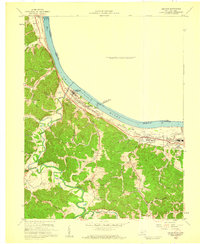
1953 Greenup
Greenup County, KY
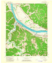
1958 Greenup
Greenup County, KY
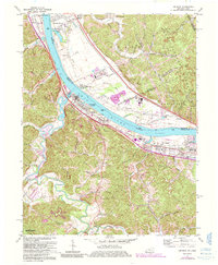
1961 Greenup
Greenup County, KY
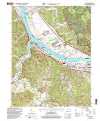
1972 Greenup
Greenup County, KY
2002 Greenup
Greenup County, KY
2011 Greenup
Greenup County, KY
2013 Greenup
Greenup County, KY
2016 Greenup
Greenup County, KY
2019 Greenup
Greenup County, KY
2022 Greenup
Greenup County, KY