Loading...
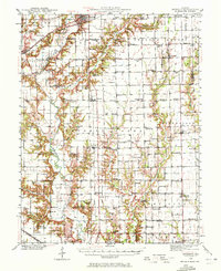
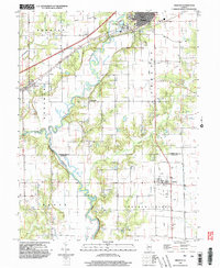
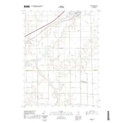
Loading map...1940 Map of Greenup
USGS Topo · Published 1972About this map
The Embarras River snakes south through the heart of Cumberland and Jasper counties, serving as a primary drainage for the agricultural landscape during the late 1930s. The settlement of Greenup serves as a local hub, situated where the historic National Road and the Pennsylvania Railroad intersect. This transportation corridor facilitated the growth of smaller hamlets like Jewett and Walla Walla. To the south, the Illinois Central Railroad links rural outposts including Hidalgo, Rose Hill, and Falmouth.
Find a feature on this map
90 named features on this map. Tap any name to fly to it.
Don’t see what you’re looking for? This feature index may not catch every label — zoom into the map to look around manually.
Map Details
Date Portrayed1940
Date Published1972
PublisherU.S. Geological Survey
Map TypeTopographic
Scale1:62,500
Physical Dimensions16.9 x 20.7 inches
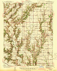
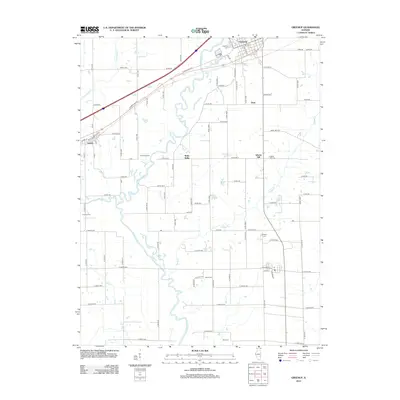
Editions of this 1940 Greenup Map
2 editions found
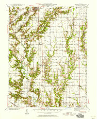
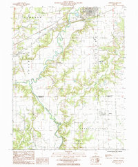
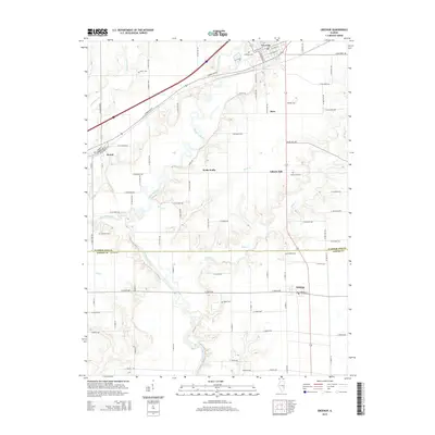
Historical Maps of Greenup Through Time
9 maps found
Featured Locations
Source Details
SourceU.S. Geological Survey
CopyrightPublic Domain