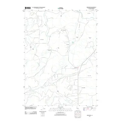
2012 Map of Greenview
USGS Topo · Published 2012About this map
Quartz Valley and Scott Valley define the landscape of this Siskiyou County region, where the historical legacy of hydraulic mining and irrigation is written into the terrain. A complex network of engineered waterways, including the Custer Ditch, Fretis Ditch, and Oro Fino Ditch, cuts across the slopes of Quartz Hill and Chaparral Hill, feeding into the valleys below. These ditches represent the labor-intensive infrastructure required to support early gold mining and later agricultural efforts in the northern California interior.
Find a feature on this map
70 named features on this map. Tap any name to fly to it.
Don’t see what you’re looking for? This feature index may not catch every label — zoom into the map to look around manually.
Map Details
Editions of this 2012 Greenview Map
This is the sole edition of this map. No revisions or reprints were ever made.
Other maps of this area

1886 · Shasta
USGS Topo · 1:250,000

1894 · Shasta
USGS Topo · 1:250,000

1914 · Seiad
USGS Topo · 1:125,000

1922 · Seiad
USGS Topo · 1:125,000

1923 · Sawyers Bar
USGS Topo · 1:125,000

1931 · Etna
USGS Topo · 1:96,000

1932 · Yreka
USGS Topo · 1:96,000

1934 · Etna
USGS Topo · 1:125,000

1939 · Yreka
USGS Topo · 1:125,000

1948 · Weed
USGS Topo · 1:250,000