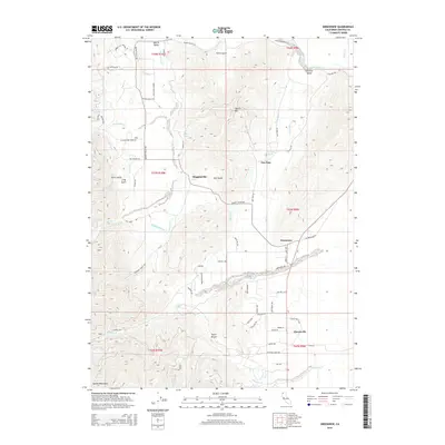
2015 Map of Greenview
USGS Topo · Published 2015About this map
Greenview serves as a central hub in this section of the Scott Valley, where the agricultural flats meet the rising slopes of the Marble Mountains. The landscape is defined by an intricate network of water management, featuring historical infrastructure like the Custer Ditch, Shackleford Ditch, and Fretis Ditch that redirect flow from Shackleford Cr and other tributaries. These waterworks support the valley floor settlements of Mugginsville and Cheeseville, reflecting a long-standing reliance on irrigation for local ranching and farming.
Find a feature on this map
72 named features on this map. Tap any name to fly to it.
Don’t see what you’re looking for? This feature index may not catch every label — zoom into the map to look around manually.
Map Details
Editions of this 2015 Greenview Map
This is the sole edition of this map. No revisions or reprints were ever made.
Other maps of this area

1886 · Shasta
USGS Topo · 1:250,000

1894 · Shasta
USGS Topo · 1:250,000

1914 · Seiad
USGS Topo · 1:125,000

1922 · Seiad
USGS Topo · 1:125,000

1923 · Sawyers Bar
USGS Topo · 1:125,000

1931 · Etna
USGS Topo · 1:96,000

1932 · Yreka
USGS Topo · 1:96,000

1934 · Etna
USGS Topo · 1:125,000

1939 · Yreka
USGS Topo · 1:125,000

1948 · Weed
USGS Topo · 1:250,000