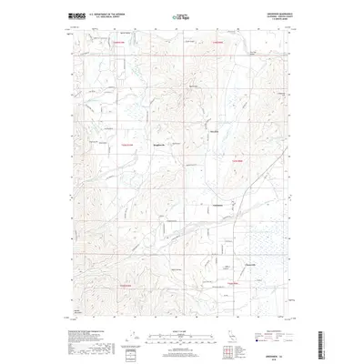
2018 Map of Greenview
USGS Topo · Published 2018About this map
Greenview and Oro Fino anchor this Siskiyou County landscape, where the agricultural flats of the Oro Fino Valley meet the rising slopes of the Marble Mountains. The map reveals a complex water management system essential for local valley life, featuring numerous artificial waterways like Fretis Ditch, Shackleford Ditch, and Custer Ditch that redirect natural flows from Kidder Cr and Mill Cr. These engineering features highlight the historical reliance on irrigation and hydraulic control in this part of California.
Find a feature on this map
79 named features on this map. Tap any name to fly to it.
Don’t see what you’re looking for? This feature index may not catch every label — zoom into the map to look around manually.
Map Details
Editions of this 2018 Greenview Map
This is the sole edition of this map. No revisions or reprints were ever made.
Other maps of this area
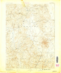
1886 · Shasta
USGS Topo · 1:250,000
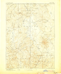
1894 · Shasta
USGS Topo · 1:250,000
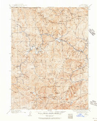
1914 · Seiad
USGS Topo · 1:125,000
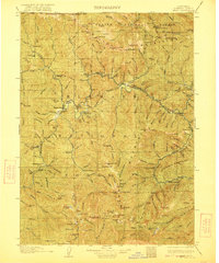
1922 · Seiad
USGS Topo · 1:125,000
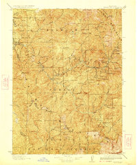
1923 · Sawyers Bar
USGS Topo · 1:125,000
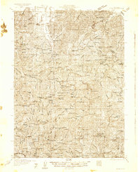
1931 · Etna
USGS Topo · 1:96,000
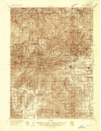
1932 · Yreka
USGS Topo · 1:96,000
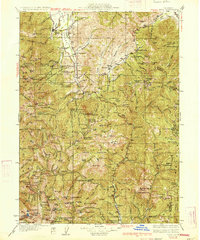
1934 · Etna
USGS Topo · 1:125,000
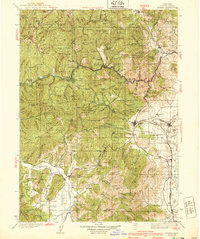
1939 · Yreka
USGS Topo · 1:125,000
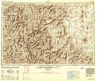
1948 · Weed
USGS Topo · 1:250,000