
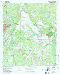
1971 Map of Greenville East
USGS Topo · Published 1973About this map
The city of Greenville serves as the focal point of this 1971 survey, showing the county seat’s expansion along the Louisville and Nashville railroad. Educational institutions like Lomax-Hannon Jr College and South Side High Sch provide significant landmarks for local historians, while the Pioneer Cem and Sunrise Cem offer specific locations for genealogical research.
Find a feature on this map
39 named features on this map. Tap any name to fly to it.
Don’t see what you’re looking for? This feature index may not catch every label — zoom into the map to look around manually.
Map Details
Editions of this 1971 Greenville East Map
2 editions found
Other maps of this area

1953 · Andalusia
USGS Topo · 1:250,000

1957 · Andalusia
USGS Topo · 1:250,000

1971 · Greenville West
USGS Topo · 1:24,000

1971 · Pigeon Creek
USGS Topo · 1:24,000

1971 · Fort Deposit
USGS Topo · 1:24,000

1971 · Honoraville
USGS Topo · 1:24,000

1971 · Fort Dale
USGS Topo · 1:24,000

1971 · Moodys Crossroads
USGS Topo · 1:24,000

1971 · Danielsville
USGS Topo · 1:24,000

1971 · Georgiana East
USGS Topo · 1:24,000