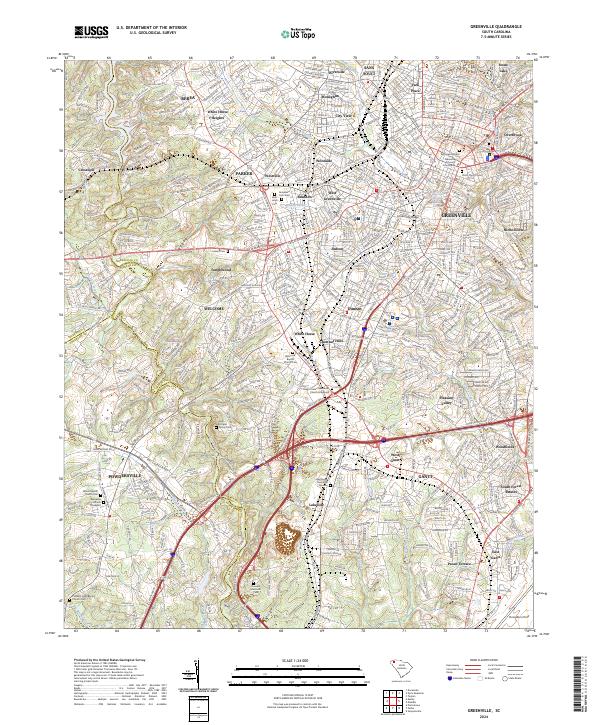
2024 Map of Greenville
USGS Topo · Published 2024About this map
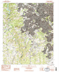
The Greenville metropolitan corridor is revealed in high detail on this 2024 survey, tracing the industrial and residential evolution along the Reedy River. From the historic core near the Greenville County Courthouse and Springwood Cem, the map extends through textile-era mill villages like Brandon, Judson, and Woodside. The landscape is a complex intersection of major transportation arteries, including Interstate 85 and CSX Transportation lines, which have shaped the expansion into neighborhoods like Nicholtown and Overbrook.
Find a feature on this map
72 named features on this map. Tap any name to fly to it.
Don’t see what you’re looking for? This feature index may not catch every label — zoom into the map to look around manually.
Map Details
Editions of this 2024 Greenville Map
This is the sole edition of this map. No revisions or reprints were ever made.
Historical Maps of Anderson County Through Time
10 maps found

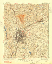
1935 Greenville
Greenville County, SC
1938 Greenville
Greenville County, SC
1954 Greenville
Greenville County, SC

1957 Greenville
Greenville County, SC
1957 Greenville
Greenville County, SC

1958 Greenville
Greenville County, SC
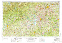
1983 Greenville
Greenville County, SC

1984 Greenville
Greenville County, SC

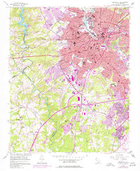
1991 Greenville
Greenville County, SC
2024 Greenville
Greenville County, SC