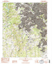
1983 Map of Greenville
USGS Topo · Published 1983About this map
Greenville serves as the dense urban core of this early 1980s landscape, flanked by a network of industrial and residential neighborhoods such as Judson, Woodside, and Welcome. The city's growth is anchored by significant infrastructure, including the Donaldson Center Airport and multiple medical facilities like Greenville Gen Hosp and St Francis Hosp. The map illustrates a period of transition where the Southern and Seaboard Coast Line railroads still define the movement of goods through the Piedmont.
Find a feature on this map
89 named features on this map. Tap any name to fly to it.
Don’t see what you’re looking for? This feature index may not catch every label — zoom into the map to look around manually.
Map Details
Editions of this 1983 Greenville Map
2 editions found
Other maps of this area

1888 · Pickens
USGS Topo · 1:125,000

1894 · Pickens
USGS Topo · 1:125,000

1935 · Greenville
USGS Topo · 1:48,000

1938 · Greenville
USGS Topo · 1:62,500

1954 · Greenville
USGS Topo · 1:250,000

1957 · Greenville
USGS Topo · 1:24,000

1957 · Anderson
USGS Topo · 1:62,500

1957 · Easley
USGS Topo · 1:62,500

1957 · Williamston
USGS Topo · 1:62,500

1957 · Greenville
USGS Topo · 1:62,500