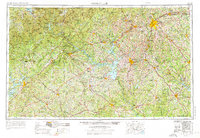
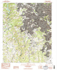
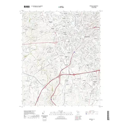
1954 Map of Greenville
USGS Topo · Published 1976About this map
Greenville and Anderson anchor this mid-century look at the Piedmont region, captured as the landscape transitioned through large-scale water management projects. The massive Hartwell Lake and Lake Sidney Lanier dominate the central and western sections, defining the new shorelines of the Savannah and Chestatee systems. To the northwest, the Blue Ridge mountains rise sharply, marked by peaks such as Brasstown Bald and Rabun Bald. The industrial and military footprint of the era is evident at Donaldson Air Force Base and throughout the dense network of the Southern Railway and Piedmont and Northern lines. This survey documents the connectivity between established textile centers like Spartanburg and Greenwood during a period of rapid infrastructure growth, as seen in the expanding paths of Us 29 and early interstate alignments.
Find a feature on this map
124 named features on this map. Tap any name to fly to it.
Don’t see what you’re looking for? This feature index may not catch every label — zoom into the map to look around manually.
Map Details
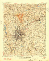
Editions of this 1954 Greenville Map
3 editions found

Historical Maps of Athens Through Time
14 maps found

1935 Greenville
Greenville County, SC
1938 Greenville
Greenville County, SC
1954 Greenville
Greenville County, SC

1957 Greenville
Greenville County, SC
1957 Greenville
Greenville County, SC

1958 Greenville
Greenville County, SC
1983 Greenville
Greenville County, SC

1984 Greenville
Greenville County, SC

1991 Greenville
Greenville County, SC
2011 Greenville
Greenville County, SC
2014 Greenville
Greenville County, SC
2017 Greenville
Greenville County, SC
2020 Greenville
Greenville County, SC
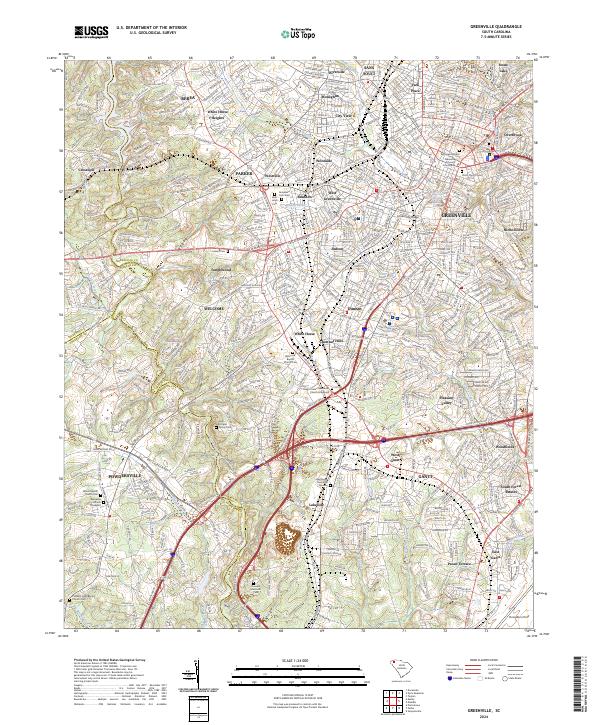
2024 Greenville
Greenville County, SC