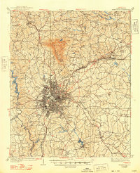
1938 Map of Greenville
USGS Topo · Published 1948About this map
The industrial and urban heart of the South Carolina upstate, Greenville, serves as the focal point for this mid-1930s survey. The city's growth is framed by the Southern, Piedmont and Northern, and Charleston and Western Carolina railroads, which facilitated the region's textile and commerce expansion. Significant civic landmarks are visible on the city's outskirts, including the Shriners Hospital, County Home, and the early Greenville Airport.
Find a feature on this map
109 named features on this map. Tap any name to fly to it.
Don’t see what you’re looking for? This feature index may not catch every label — zoom into the map to look around manually.
Map Details
Editions of this 1938 Greenville Map
2 editions found
Other maps of this area

1888 · Pickens
USGS Topo · 1:125,000

1894 · Pickens
USGS Topo · 1:125,000

1905 · Pisgah
USGS Topo · 1:125,000

1906 · Pisgah
USGS Topo · 1:125,000

1907 · Saluda
USGS Topo · 1:125,000

1935 · Greer
USGS Topo · 1:48,000

1935 · Greenville
USGS Topo · 1:48,000

1938 · Greenville
USGS Topo · 1:62,500

1938 · Greer
USGS Topo · 1:62,500

1954 · Greenville
USGS Topo · 1:250,000