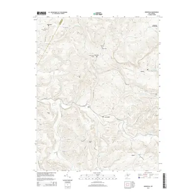
2014 Map of Greenville
USGS Topo · Published 2014About this map
Greenville and the surrounding Monroe County countryside are defined by a complex network of ridges and watercourses as they appeared in the early 2010s. The landscape is marked by prominent terrain features like Ellison Ridge and Kibble Hill, while the historic Laurel Creek Covered Bridge stands as a significant landmark along WV-122. Small communities such as Wayside and Johnson Crossroads are linked by winding county routes like Wayside Creamery Rd, which traces the path of Indian Draft.
Find a feature on this map
72 named features on this map. Tap any name to fly to it.
Don’t see what you’re looking for? This feature index may not catch every label — zoom into the map to look around manually.
Map Details
Editions of this 2014 Greenville Map
This is the sole edition of this map. No revisions or reprints were ever made.
Other maps of this area

1887 · Hinton
USGS Topo · 1:125,000

1890 · Dublin
USGS Topo · 1:125,000

1891 · Dublin
USGS Topo · 1:125,000

1892 · Hinton
USGS Topo · 1:125,000

1912 · Big Bend
USGS Topo · 1:62,500

1913 · Peterstown
USGS Topo · 1:48,000

1914 · Big Bend
USGS Topo · 1:62,500

1916 · Peterstown
USGS Topo · 1:62,500

1921 · Alderson
USGS Topo · 1:48,000

1923 · Pearisburg
USGS Topo · 1:62,500