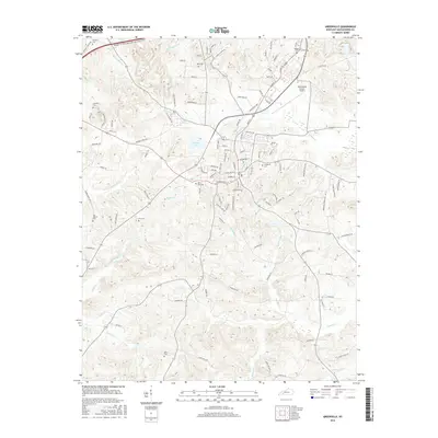
2016 Map of Greenville
USGS Topo · Published 2016About this map
The Muhlenberg County Airport and the sprawling residential networks of Greenville define the northern half of this landscape, where the Wendell H Ford Western Kentucky Pkwy cuts across the coal-country terrain. Numerous small family and community burial grounds, including West End Cem, Evergreen Cem, and Nebo Cem, are scattered across the quadrangle, providing critical markers for genealogical research. The local infrastructure is deeply tied to its geography, with roads like Luzerne Depot Rd and Sharon Depot Rd hinting at the area's historical rail connections.
Find a feature on this map
120 named features on this map. Tap any name to fly to it.
Don’t see what you’re looking for? This feature index may not catch every label — zoom into the map to look around manually.
Map Details
Editions of this 2016 Greenville Map
This is the sole edition of this map. No revisions or reprints were ever made.
Other maps of this area

1909 · Madisonville
USGS Topo · 1:62,500

1909 · Central City
USGS Topo · 1:62,500

1911 · Drakesboro
USGS Topo · 1:48,000

1912 · Nortonville
USGS Topo · 1:62,500

1913 · Drakesboro
USGS Topo · 1:62,500

1952 · Greenville
USGS Topo · 1:24,000

1953 · Drakesboro
USGS Topo · 1:24,000

1953 · Haleys Mill
USGS Topo · 1:24,000

1953 · Rosewood
USGS Topo · 1:24,000

1953 · Central City West
USGS Topo · 1:24,000