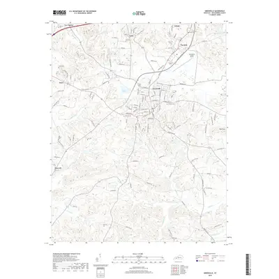
2019 Map of Greenville
USGS Topo · Published 2019About this map
The county seat of Greenville serves as the central hub of this 2019 survey, surrounded by several smaller communities such as Powderly, Depoy, and Bancroft. The landscape is defined by the winding paths of Caney Cr, Sandlick Cr, and Pond Cr, which cut through the undulating terrain south of the Muhlenberg County Airport. This era shows a well-connected road network including Opportunity Way and Robert L Draper Way, reflecting the modern industrial and transport infrastructure serving the region. For those researching family history, the map provides precise locations for numerous burial grounds, from the large Evergreen Cem near the town center to more secluded sites like Allen Cem and Luckett Cem. The presence of Luzerne Lake and the prominent Buck Knob offer clear landmarks for understanding the natural drainage and elevation patterns of the central Muhlenberg County area.
Find a feature on this map
123 named features on this map. Tap any name to fly to it.
Don’t see what you’re looking for? This feature index may not catch every label — zoom into the map to look around manually.
Map Details
Editions of this 2019 Greenville Map
This is the sole edition of this map. No revisions or reprints were ever made.
Other maps of this area

1909 · Madisonville
USGS Topo · 1:62,500

1909 · Central City
USGS Topo · 1:62,500

1911 · Drakesboro
USGS Topo · 1:48,000

1912 · Nortonville
USGS Topo · 1:62,500

1913 · Drakesboro
USGS Topo · 1:62,500

1952 · Greenville
USGS Topo · 1:24,000

1953 · Drakesboro
USGS Topo · 1:24,000

1953 · Haleys Mill
USGS Topo · 1:24,000

1953 · Rosewood
USGS Topo · 1:24,000

1953 · Central City West
USGS Topo · 1:24,000