2022 Map of Greenville NE
USGS Topo · Published 2022About this map
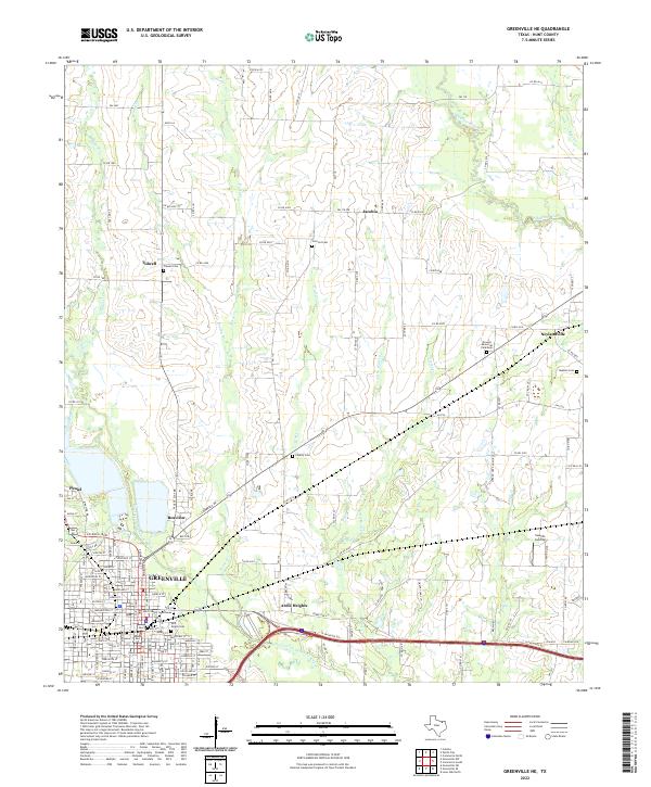
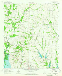
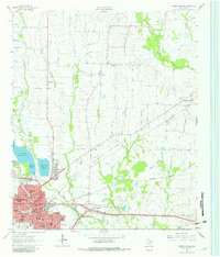
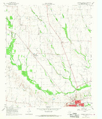
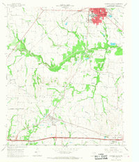
Greenville serves as the focal point of this northeast Texas landscape, centered on the Hunt County Courthouse and its surrounding grid of streets and neighborhoods. The map details the transition from the urban density of Peniel and Reavilon into a pastoral expanse defined by several significant watercourses. The Cowleech Fork Sabine River and the S Sulphur River frame the drainage patterns for the region, while smaller tributaries like Horse Creek and Wolf Creek weave through the agricultural lands.
Find a feature on this map
144 named features on this map. Tap any name to fly to it.
Don’t see what you’re looking for? This feature index may not catch every label — zoom into the map to look around manually.
Map Details
Editions of this 2022 Greenville NE Map
This is the sole edition of this map. No revisions or reprints were ever made.
Historical Maps of Ardis Heights Through Time
14 maps found
1962 Greenville NW
Hunt County, TX
1962 Greenville SE
Hunt County, TX
1962 Greenville SW
Hunt County, TX
1962 Lone Oak North
Hunt County, TX
1963 Greenville NE
Hunt County, TX
1964 Commerce North
Hunt County, TX
1964 Commerce South
Hunt County, TX
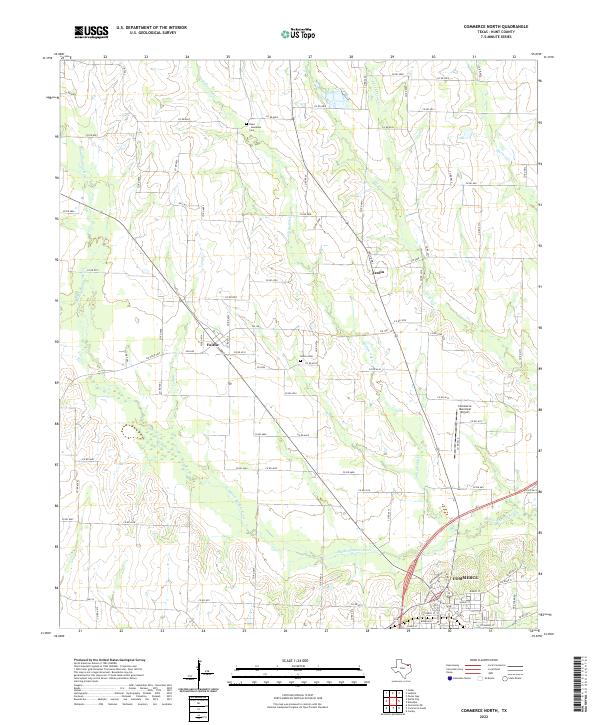
2022 Commerce North
Hunt County, TX
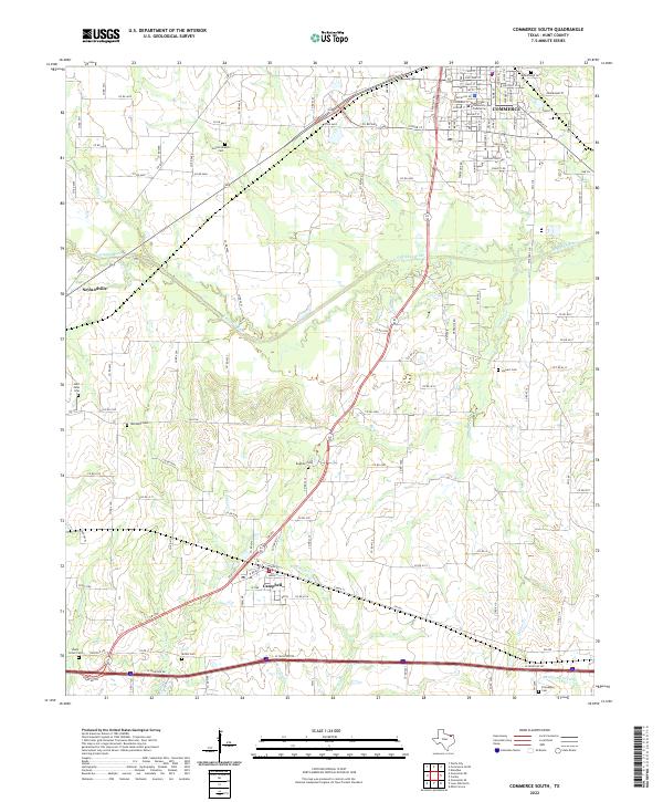
2022 Commerce South
Hunt County, TX
2022 Greenville NE
Hunt County, TX
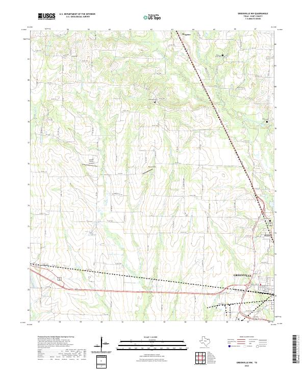
2022 Greenville NW
Hunt County, TX
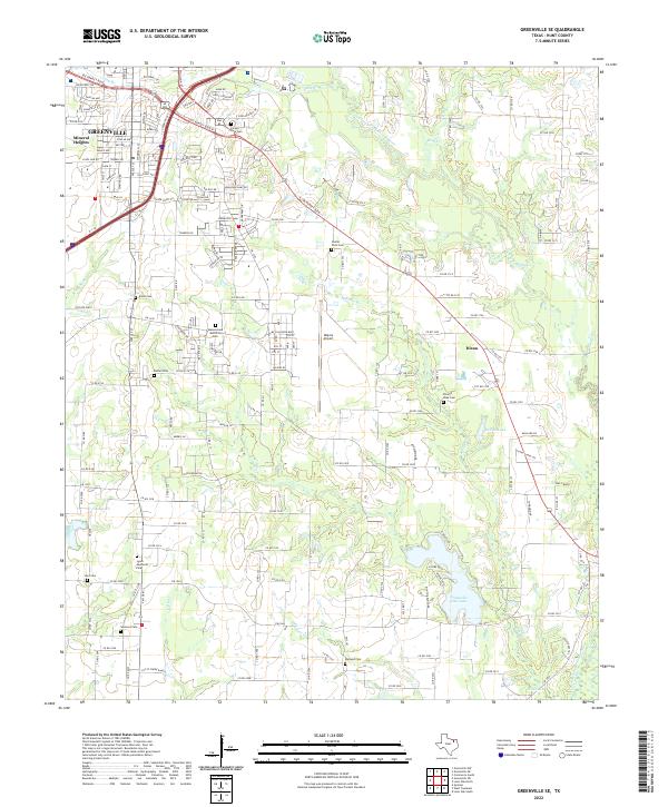
2022 Greenville SE
Hunt County, TX
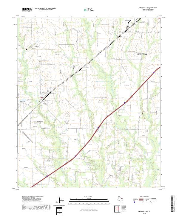
2022 Greenville SW
Hunt County, TX
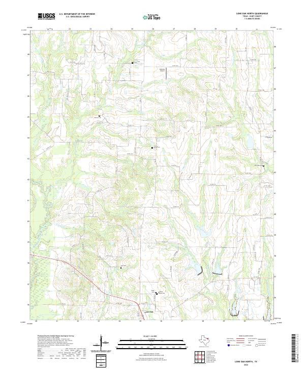
2022 Lone Oak North
Hunt County, TX