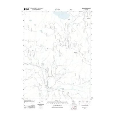
2012 Map of Greenville
USGS Topo · Published 2012About this map
Greenville sits at the heart of this mountain landscape, serving as a primary settlement along the winding path of Wolf Cr. To the south, the community of North Canyon and the notable Indian Valley Hot Springs illustrate the local reliance on the area's hydrothermal and geological features. The terrain is defined by high elevations like Keddie Peak and the prominent Keddie Ridge, which overlook the expansive Williams Valley and Pecks Valley.
Find a feature on this map
41 named features on this map. Tap any name to fly to it.
Don’t see what you’re looking for? This feature index may not catch every label — zoom into the map to look around manually.
Map Details
Editions of this 2012 Greenville Map
This is the sole edition of this map. No revisions or reprints were ever made.
Other maps of this area

1886 · Honey Lake
USGS Topo · 1:250,000

1886 · Lassen Peak
USGS Topo · 1:250,000

1891 · Honey Lake
USGS Topo · 1:250,000

1892 · Lassen Peak
USGS Topo · 1:250,000

1893 · Honey Lake
USGS Topo · 1:250,000

1894 · Lassen Peak
USGS Topo · 1:250,000

1950 · Greenville
USGS Topo · 1:62,500

1955 · Westwood
USGS Topo · 1:62,500

1955 · Almanor
USGS Topo · 1:62,500

1955 · Westwood
USGS Topo · 1:250,000