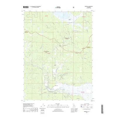
2018 Map of Greenville
USGS Topo · Published 2018About this map
Greenville sits at the southern base of Keddie Ridge, where the high alpine terrain of the Lassen National Forest and Plumas National Forest meets the pastoral reaches of Indian Valley. This 2018 survey reveals a landscape defined by significant water resources and geothermal activity, notably the Indian Valley Hot Springs and Spirit Springs near the town center. The topographic relief is marked by prominent elevations such as Keddie Peak and Forgay Point, while the northern portion of the map is dominated by the Mountain Meadows Reservoir. Local transport is facilitated by a network of rural routes like Greenville Wolf Creek Rd and Greenville Williams Valley Rd, which connect the main settlement to outlying agricultural and timber lands in Williams Valley and Pecks Valley. Geologic and historical interests are further highlighted by features such as Cherokee Mine Rd, reflecting the area's history of resource extraction.
Find a feature on this map
55 named features on this map. Tap any name to fly to it.
Don’t see what you’re looking for? This feature index may not catch every label — zoom into the map to look around manually.
Map Details
Editions of this 2018 Greenville Map
This is the sole edition of this map. No revisions or reprints were ever made.
Other maps of this area
1886 · Honey Lake
USGS Topo · 1:250,000
1886 · Lassen Peak
USGS Topo · 1:250,000
1891 · Honey Lake
USGS Topo · 1:250,000
1892 · Lassen Peak
USGS Topo · 1:250,000
1893 · Honey Lake
USGS Topo · 1:250,000
1894 · Lassen Peak
USGS Topo · 1:250,000
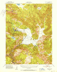
1950 · Greenville
USGS Topo · 1:62,500
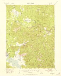
1955 · Westwood
USGS Topo · 1:62,500
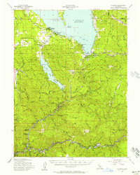
1955 · Almanor
USGS Topo · 1:62,500
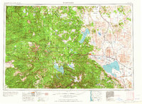
1955 · Westwood
USGS Topo · 1:250,000