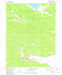
1979 Map of Greenville
USGS Topo · Published 1979About this map
Greenville serves as the focal point of this 1970s landscape, situated at the edge of the Indian Valley where Wolf Creek emerges from the high timber. The town layout is clearly defined, featuring a High Sch and proximity to the Indian Valley Hot Springs. The map documents a rugged transition from valley floor to the peaks of the Lassen National Forest and Plumas National Forest. Industrial and historical layers are evident through the scattered sites of the Red Rock Mine and New York Mine, alongside commemorations like the Peter Lassen Springs Marker. Transportation is dominated by the Western Pacific railroad winding through the drainage and a network of primitive routes including a Jeep Trail and Pack Trail that climb toward Keddie Peak.
Find a feature on this map
48 named features on this map. Tap any name to fly to it.
Don’t see what you’re looking for? This feature index may not catch every label — zoom into the map to look around manually.
Map Details
Editions of this 1979 Greenville Map
This is the sole edition of this map. No revisions or reprints were ever made.
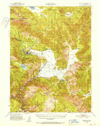
Other maps of this area

1886 · Honey Lake
USGS Topo · 1:250,000

1886 · Lassen Peak
USGS Topo · 1:250,000

1891 · Honey Lake
USGS Topo · 1:250,000

1892 · Lassen Peak
USGS Topo · 1:250,000

1893 · Honey Lake
USGS Topo · 1:250,000

1894 · Lassen Peak
USGS Topo · 1:250,000
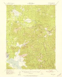
1950 · Greenville
USGS Topo · 1:62,500
1955 · Westwood
USGS Topo · 1:62,500
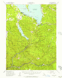
1955 · Almanor
USGS Topo · 1:62,500

1955 · Westwood
USGS Topo · 1:250,000