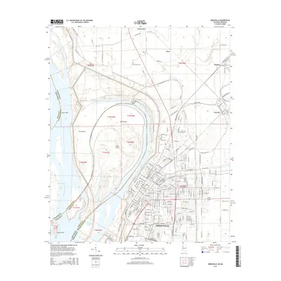
2015 Map of Greenville
USGS Topo · Published 2015About this map
Greenville serves as the focal point of this Mississippi Delta landscape, situated along the complex bends of the Mississippi River. The map documents the city's relationship with the water, showing the intricate landforms created by the river's shifting course, including Tarpley Neck, Bachelor Bend, and Point Chicot. The presence of several distinct burial grounds, such as the Jewish Cem and Chinese Cem, reflects the diverse cultural history of this river port. North of the city, the Columbus & Greenville Railway cuts through the flat alluvial plain toward Metcalfe, while outlying settlements like Winterville and Hunt mark the agricultural hinterland. The map's detail extends to local infrastructure, capturing the Live Oaks Sch and numerous family-named roads that suggest long-standing land ownership patterns in Washington County.
Find a feature on this map
200 named features on this map. Tap any name to fly to it.
Don’t see what you’re looking for? This feature index may not catch every label — zoom into the map to look around manually.
Map Details
Editions of this 2015 Greenville Map
This is the sole edition of this map. No revisions or reprints were ever made.
Other maps of this area

1933 · Lamont
USGS Topo · 1:62,500

1939 · Refuge
USGS Topo · 1:62,500

1939 · Lamont
USGS Topo · 1:62,500

1939 · Tralake
USGS Topo · 1:62,500

1939 · Choctaw
USGS Topo · 1:62,500

1953 · Greenwood
USGS Topo · 1:250,000

1956 · Greenwood
USGS Topo · 1:250,000

1967 · Arcola
USGS Topo · 1:24,000

1967 · Stringtown
USGS Topo · 1:24,000

1967 · Leland
USGS Topo · 1:24,000