Loading...
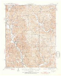
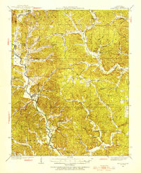
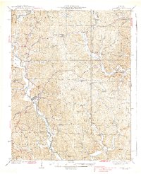
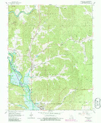
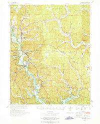
Loading map...1934 Map of Greenville
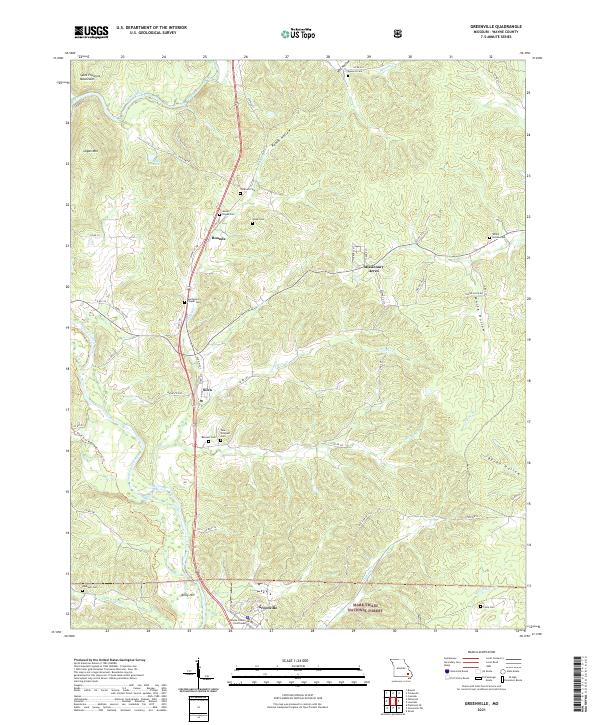
USGS Topo · Published 1954About this map
The St Francis River and Black River define the intricate drainage systems of Wayne County in this mid-1930s landscape. Greenville serves as the focal point, situated near a complex network of creeks like Bear Creek and Holliday Creek. The map records a rural social fabric built around dozens of small, local institutions, including the CCC Camp and name-specific gathering places like Wesley Chapel and Reed Chapel.
Find a feature on this map
69 named features on this map. Tap any name to fly to it.
Don’t see what you’re looking for? This feature index may not catch every label — zoom into the map to look around manually.
Map Details
Date Portrayed1934
Date Published1954
PublisherU.S. Geological Survey
Map TypeTopographic
Scale1:62,500
Physical Dimensions17.04 x 21.31 inches
Editions of this 1934 Greenville Map
2 editions found
Historical Maps of Greenville Through Time
8 maps found
Featured Locations
Source Details
SourceU.S. Geological Survey
CopyrightPublic Domain