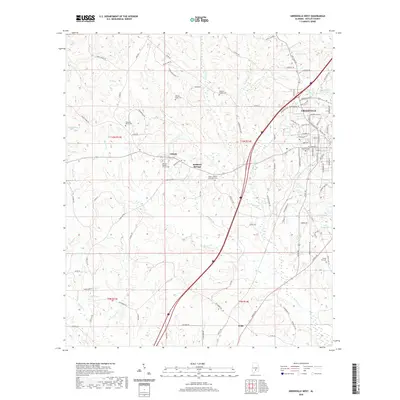
2020 Map of Greenville West
USGS Topo · Published 2020About this map
Greenville serves as the focal point for this western Butler County landscape, where the town's residential and industrial edges meet a countryside marked by small settlements and family burial grounds. Local history is deeply rooted in sites such as Liberty, Reddock Springs, and Wald, which anchor a rural network of churches and cemeteries including Liberty Baptist Church Cem and Giddens Chapel Cem. The terrain is defined by its water system, with the headwaters of Wolf Cr, Beaver Cr, and Rocky Cr draining the land between these established communities.
Find a feature on this map
111 named features on this map. Tap any name to fly to it.
Don’t see what you’re looking for? This feature index may not catch every label — zoom into the map to look around manually.
Map Details
Editions of this 2020 Greenville West Map
This is the sole edition of this map. No revisions or reprints were ever made.
Other maps of this area

1953 · Andalusia
USGS Topo · 1:250,000

1957 · Andalusia
USGS Topo · 1:250,000

1971 · Greenville West
USGS Topo · 1:24,000

1971 · Pigeon Creek
USGS Topo · 1:24,000

1971 · Fort Deposit
USGS Topo · 1:24,000

1971 · Fort Dale
USGS Topo · 1:24,000

1971 · Greenville East
USGS Topo · 1:24,000

1971 · Georgiana East
USGS Topo · 1:24,000

1971 · Georgiana West
USGS Topo · 1:24,000

1981 · Forest Home
USGS Topo · 1:24,000