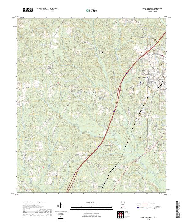
2024 Map of Greenville West
USGS Topo · Published 2024About this map
Greenville serves as the focal point for this Butler County landscape, showing the western expansion and rural outskirts of the town. The terrain is defined by a dense network of small watercourses, including Wolf Creek, Beaver Creek, and Peavy Creek, which flow through the undulating land. Numerous family and community burial sites are scattered across the quadrangle, such as William Seale Cem, Giddens Chapel Cem, and Pleasant Home Cem, offering significant value for genealogical research. The settlement of Liberty is marked by the Liberty Baptist Church and its associated cemetery, while further south, the community of Wald and Lake Charold represent the rural character of the region. Local industry and recreation are represented by features like Sportsmen Club Lake and the various ponds and lakes that dot the area, providing a clear picture of how water resources shaped local development.
Find a feature on this map
107 named features on this map. Tap any name to fly to it.
Don’t see what you’re looking for? This feature index may not catch every label — zoom into the map to look around manually.
Map Details
Editions of this 2024 Greenville West Map
This is the sole edition of this map. No revisions or reprints were ever made.
Other maps of this area

1953 · Andalusia
USGS Topo · 1:250,000

1957 · Andalusia
USGS Topo · 1:250,000

1971 · Greenville West
USGS Topo · 1:24,000

1971 · Pigeon Creek
USGS Topo · 1:24,000

1971 · Fort Deposit
USGS Topo · 1:24,000

1971 · Fort Dale
USGS Topo · 1:24,000

1971 · Greenville East
USGS Topo · 1:24,000

1971 · Georgiana East
USGS Topo · 1:24,000

1971 · Georgiana West
USGS Topo · 1:24,000

1981 · Forest Home
USGS Topo · 1:24,000