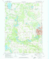
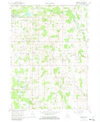
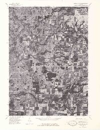
1972 Map of Greenville West
USGS Topo · Published 1974This historical map portrays the area of Greenville West in 1972, primarily covering Montcalm County as well as portions of Kent County. Featuring a scale of 1:24000, this map provides a highly detailed snapshot of the terrain, roads, buildings, counties, and historical landmarks in the Greenville West region at the time. Published in 1974, it is one of 2 known editions of this map due to revisions or reprints.
Find a feature on this map
105 named features on this map. Tap any name to fly to it.
Don’t see what you’re looking for? This feature index may not catch every label — zoom into the map to look around manually.
Map Details
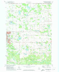
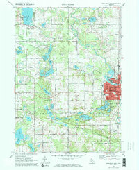
Editions of this 1972 Greenville West Map
2 editions found
Historical Maps of Kent County Through Time
9 maps found
1964 Langston
Montcalm County, MI
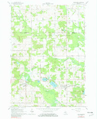
1964 Six Lakes
Montcalm County, MI
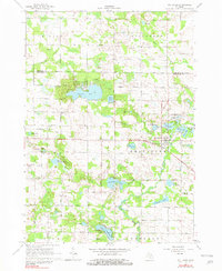
1965 Vestaburg
Montcalm County, MI
1967 Butternut
Montcalm County, MI
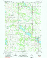
1972 Greenville East
Montcalm County, MI
1972 Greenville West
Montcalm County, MI
1976 Howard City NE
Montcalm County, MI
1976 Howard City NW
Montcalm County, MI
1985 Coral
Montcalm County, MI