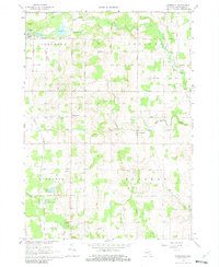
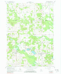
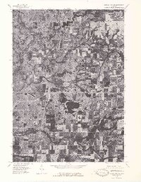
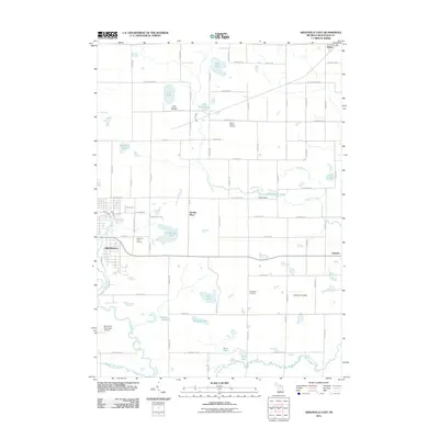
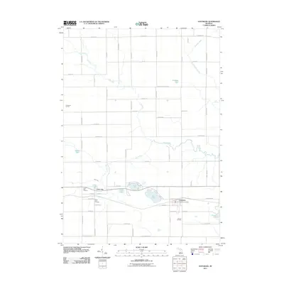
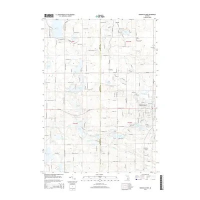
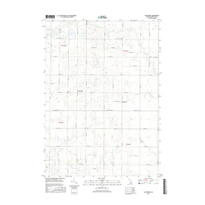
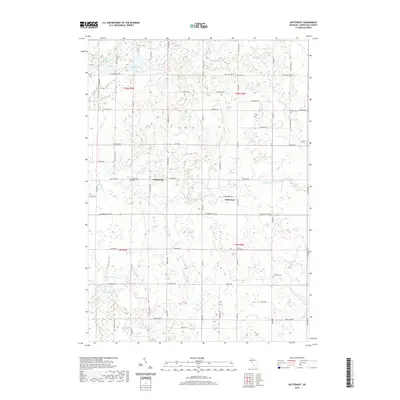
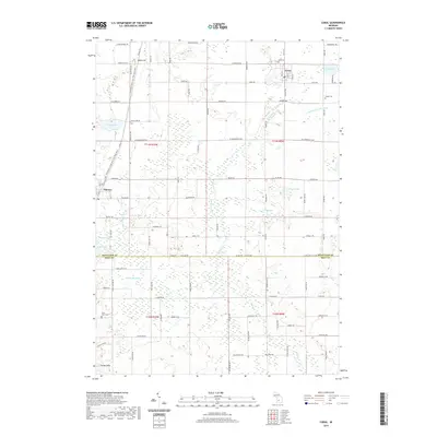
1967 Map of Butternut
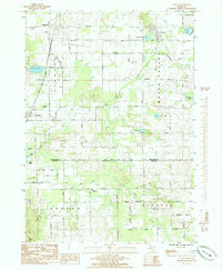
USGS Topo · Published 1982About this map
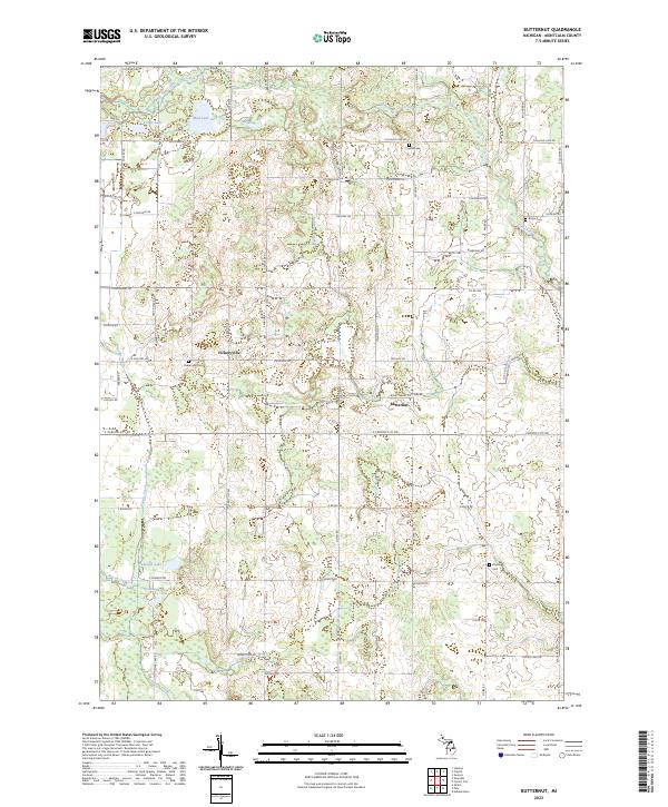
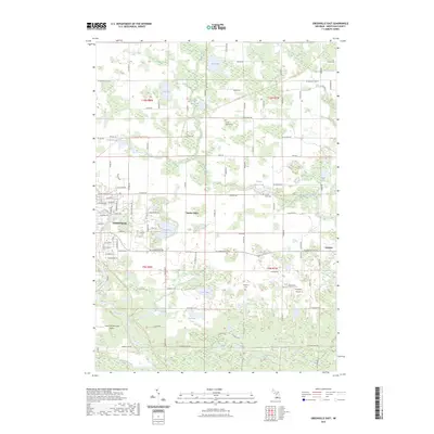
Butternut and Vickeryville anchor this 1960s agricultural landscape in Montcalm County, Michigan. The terrain is defined by a dense network of country roads following the township sections, including Grand Trunk Road and Vickeryville Road, which connect family-owned farms and rural outposts. The map reveals the essential community centers of the era, such as Oaklawn Ch, and provides key genealogical landmarks through its recorded burial grounds, including Bloomer Cem, Burke Cem, and the Vickeryville Cem.
Find a feature on this map
40 named features on this map. Tap any name to fly to it.
Don’t see what you’re looking for? This feature index may not catch every label — zoom into the map to look around manually.
Map Details
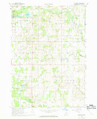
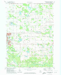
Editions of this 1967 Butternut Map
2 editions found
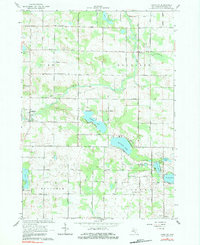
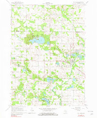
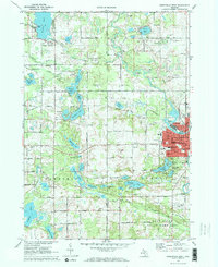
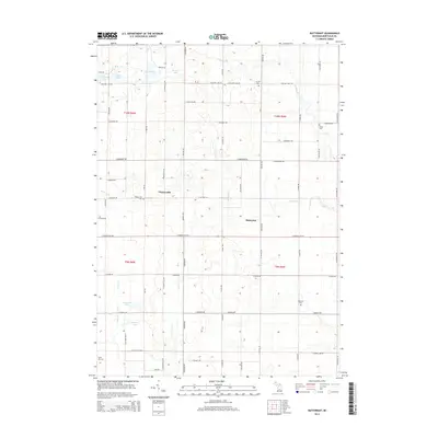
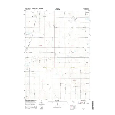
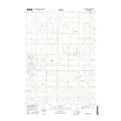
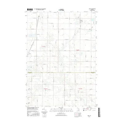
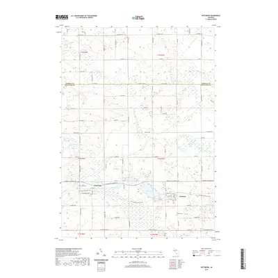
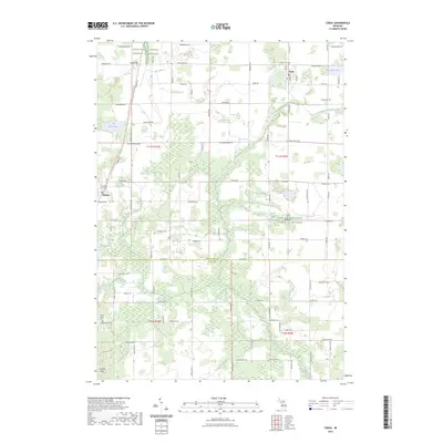
Historical Maps of Bushnell Township Through Time
44 maps found
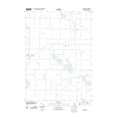
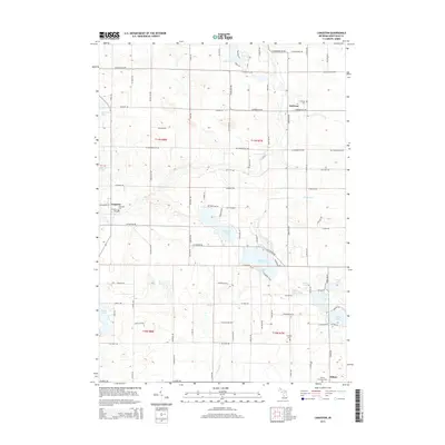
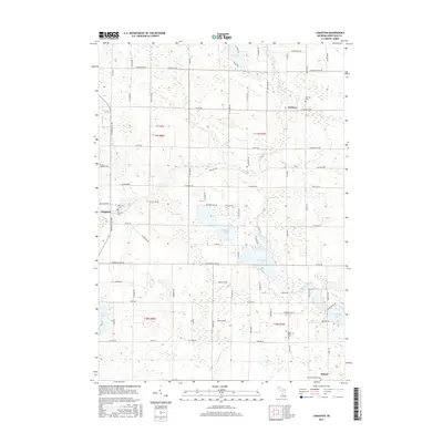
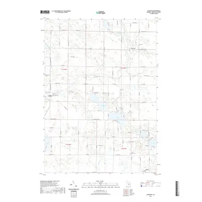
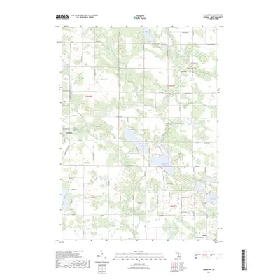
1964 Langston
Montcalm County, MI
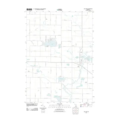
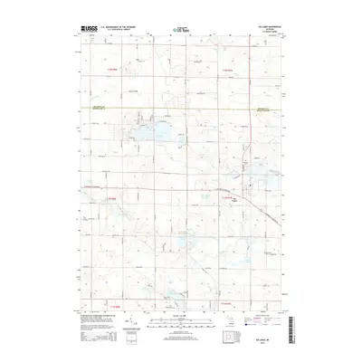
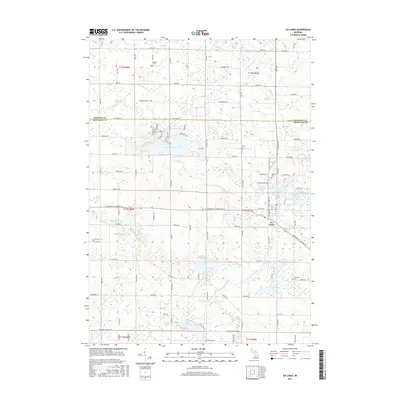
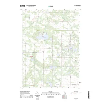
1964 Six Lakes
Montcalm County, MI
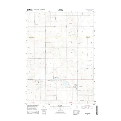
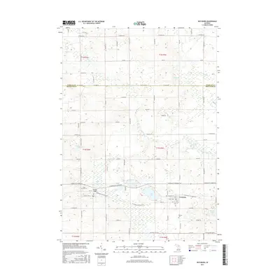
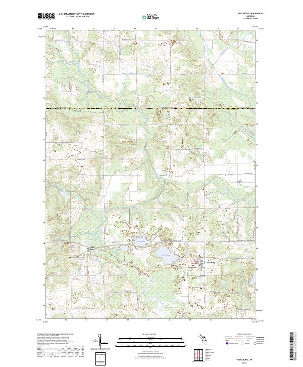
1965 Vestaburg
Montcalm County, MI
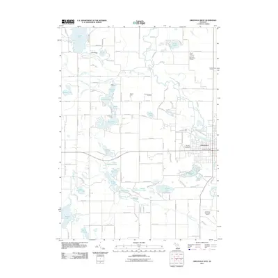
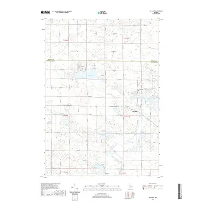
1967 Butternut
Montcalm County, MI
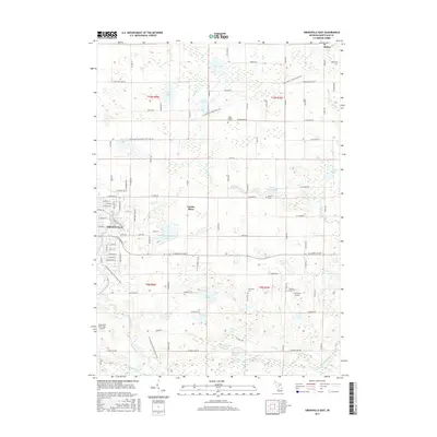
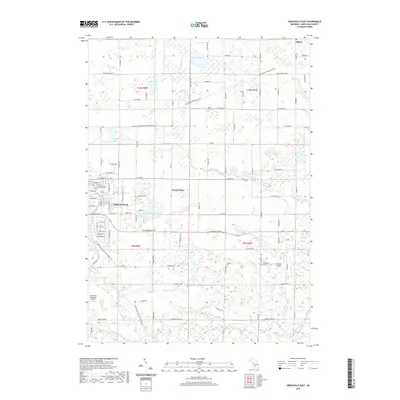
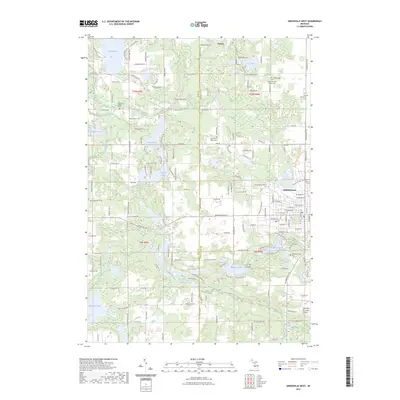
1972 Greenville East
Montcalm County, MI
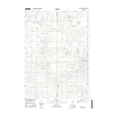
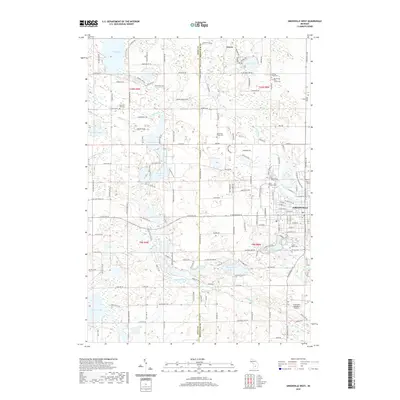
1972 Greenville West
Montcalm County, MI
1976 Howard City NE
Montcalm County, MI
1976 Howard City NW
Montcalm County, MI
1985 Coral
Montcalm County, MI
2011 Butternut
Montcalm County, MI
2011 Coral
Montcalm County, MI
2011 Greenville East
Montcalm County, MI
2011 Greenville West
Montcalm County, MI
2011 Langston
Montcalm County, MI
2011 Six Lakes
Montcalm County, MI
2011 Vestaburg
Montcalm County, MI
2014 Butternut
Montcalm County, MI
2014 Coral
Montcalm County, MI
2014 Greenville East
Montcalm County, MI
2014 Greenville West
Montcalm County, MI
2014 Langston
Montcalm County, MI
2014 Six Lakes
Montcalm County, MI
2014 Vestaburg
Montcalm County, MI
2017 Butternut
Montcalm County, MI
2017 Coral
Montcalm County, MI
2017 Greenville East
Montcalm County, MI
2017 Greenville West
Montcalm County, MI
2017 Langston
Montcalm County, MI
2017 Six Lakes
Montcalm County, MI
2017 Vestaburg
Montcalm County, MI
2019 Butternut
Montcalm County, MI
2019 Coral
Montcalm County, MI
2019 Greenville East
Montcalm County, MI
2019 Greenville West
Montcalm County, MI
2019 Langston
Montcalm County, MI
2019 Six Lakes
Montcalm County, MI
2019 Vestaburg
Montcalm County, MI
2023 Butternut
Montcalm County, MI
2023 Coral
Montcalm County, MI
2023 Greenville East
Montcalm County, MI
2023 Greenville West
Montcalm County, MI
2023 Langston
Montcalm County, MI
2023 Six Lakes
Montcalm County, MI
2023 Vestaburg
Montcalm County, MI
Featured Locations
- Evergreen Township, MI
- Bloomer Township, MI
- Bushnell Township, MI
- Vickeryville, Bushnell Township
- Butternut, Bloomer Township