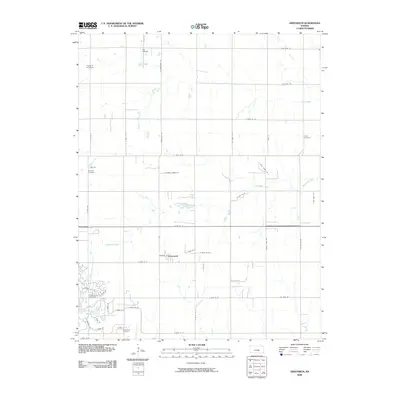
2009 Map of Greenwich
USGS Topo · Published 2009About this map
The settlement of Greenwich serves as a focal point for this area of Sedgwick County, where rural road grids intersect with the growing outskirts of Wichita. Several local burial sites, including Greenwich Cemetery, Cottonwood Cemetery, and Fairview Cemetery, provide essential landmarks for genealogical research and local history within this prairie landscape. The area is defined by the drainage of Whitewater Creek and Prairie Creek, which carve subtle paths through the township sections. Transportation and aviation are prominently represented by small airstrips such as Eck Airfield and Flying R N Airport, reflecting the region's reliance on light aircraft for both agriculture and private travel. The map captures a period of transition, where established farmsteads and cemeteries meet the expanding residential developments indicated by newly named streets like N Tara Cir and Indian Oak Ln.
Find a feature on this map
49 named features on this map. Tap any name to fly to it.
Don’t see what you’re looking for? This feature index may not catch every label — zoom into the map to look around manually.
Map Details
Editions of this 2009 Greenwich Map
This is the sole edition of this map. No revisions or reprints were ever made.
Other maps of this area

1889 · Wichita
USGS Topo · 1:125,000

1894 · Wichita
USGS Topo · 1:125,000

1941 · Valley Center
USGS Topo · 1:31,680

1942 · Valley Center
USGS Topo · 1:31,680

1943 · Wichita East
USGS Topo · 1:31,680

1945 · Andover
USGS Topo · 1:31,680

1955 · Santa Fe Lake
USGS Topo · 1:24,000

1955 · Benton
USGS Topo · 1:24,000

1955 · Greenwich
USGS Topo · 1:24,000

1955 · Wichita
USGS Topo · 1:250,000