
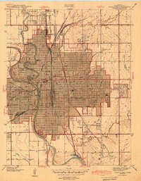
1943 Map of Wichita East
USGS Topo · Published 1943About this map
The Arkansas River and Little Arkansas River converge near the heart of a rapidly maturing industrial and educational hub during the early 1940s. This survey illustrates a dense urban grid expanding eastward toward the smaller enclave of Eastborough, while established institutions like Wichita University and Friends University anchor the city's intellectual life. The landscape is deeply influenced by its position as a major railroad crossroads, with the St Louis San Francisco and Atchison Topeka and Santa Fe lines intersecting near Union Station.
Find a feature on this map
49 named features on this map. Tap any name to fly to it.
Don’t see what you’re looking for? This feature index may not catch every label — zoom into the map to look around manually.
Map Details
Editions of this 1943 Wichita East Map
2 editions found
Other maps of this area

1889 · Wichita
USGS Topo · 1:125,000

1894 · Wichita
USGS Topo · 1:125,000

1941 · Maize
USGS Topo · 1:31,680

1941 · Valley Center
USGS Topo · 1:31,680

1942 · Valley Center
USGS Topo · 1:31,680

1942 · Maize
USGS Topo · 1:31,680

1943 · Wichita West
USGS Topo · 1:31,680

1943 · Derby
USGS Topo · 1:31,680

1943 · Bayneville
USGS Topo · 1:31,680

1945 · Andover
USGS Topo · 1:31,680