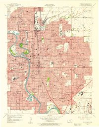
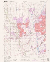
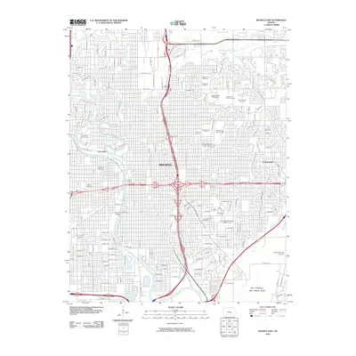
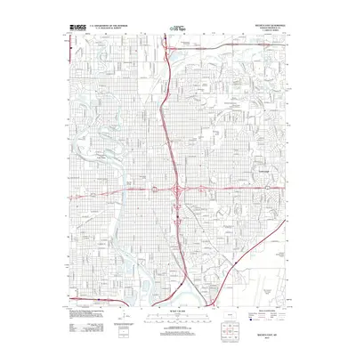
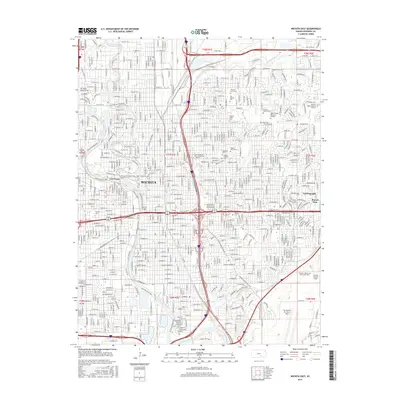
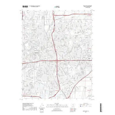
1943 Map of Wichita East
USGS Topo · Published 1943About this map
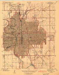
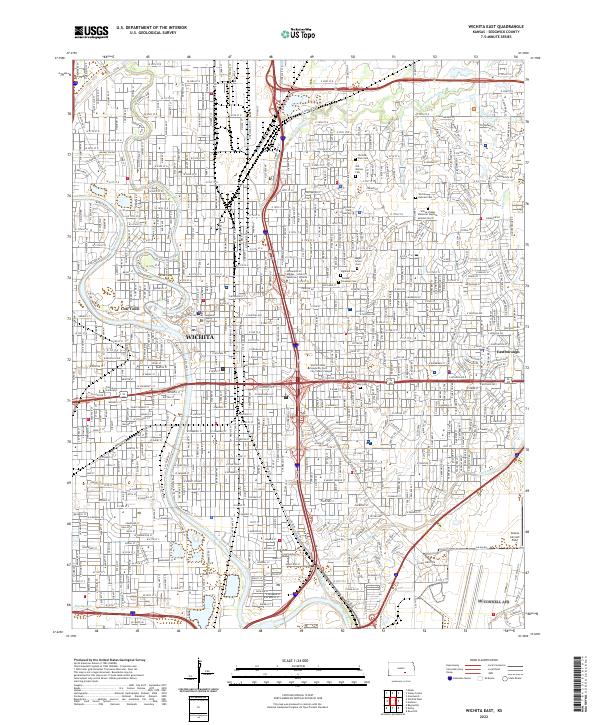
Wichita serves as a thriving hub of transportation and education during the early 1940s, anchored by the winding Arkansas River and the industrial Drainage Canal. The city's rail-driven economy is evident through the convergence of major lines like the Atchison Topeka and Santa Fe and the Missouri Pacific, meeting at the centrally located Union Station. Beyond the dense urban grid, the landscape transitions into a sprawling network of community institutions, including Wichita University, Friends University, and St Marys Academy.
Find a feature on this map
56 named features on this map. Tap any name to fly to it.
Don’t see what you’re looking for? This feature index may not catch every label — zoom into the map to look around manually.
Map Details
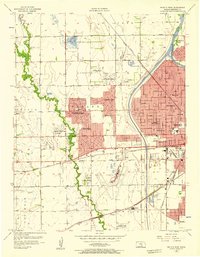
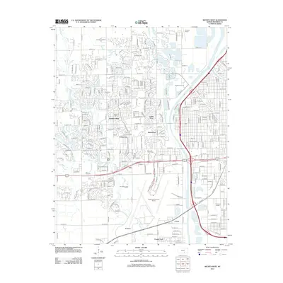
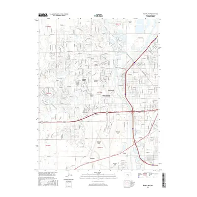
Editions of this 1943 Wichita East Map
2 editions found
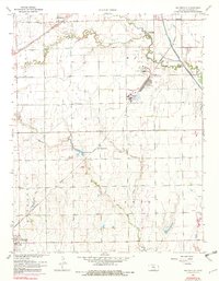
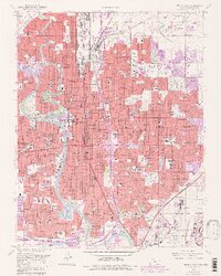
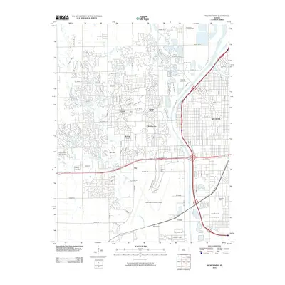
Historical Maps of Wichita Through Time
30 maps found
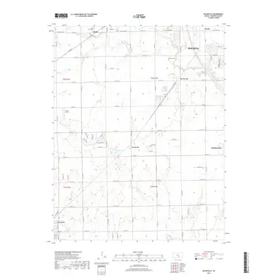
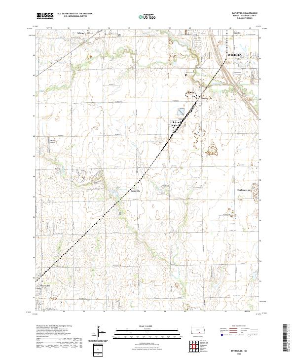
1943 Bayneville
Sedgwick County, KS

1943 Wichita East
Sedgwick County, KS
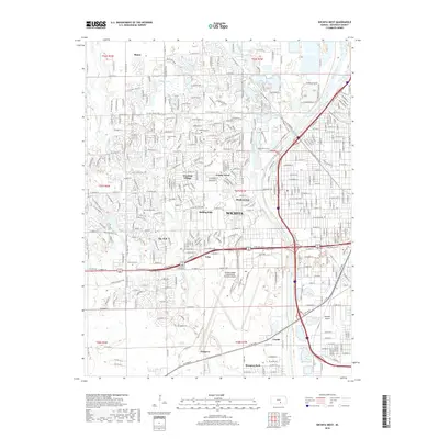
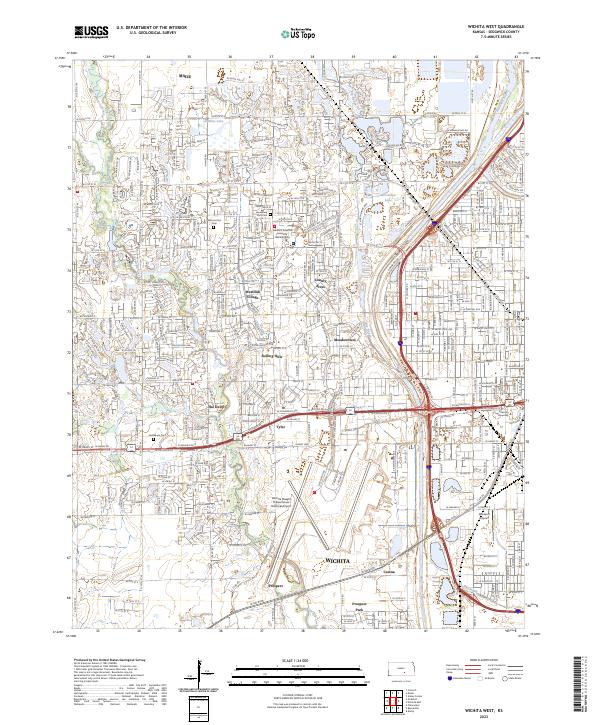
1943 Wichita West
Sedgwick County, KS
1950 Bayneville
Sedgwick County, KS
1956 Wichita East
Sedgwick County, KS
1956 Wichita West
Sedgwick County, KS
1961 Bayneville
Sedgwick County, KS
1961 Wichita East
Sedgwick County, KS
1961 Wichita West
Sedgwick County, KS
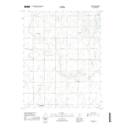
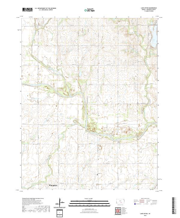
1965 Lake Afton
Sedgwick County, KS
2009 Bayneville
Sedgwick County, KS
2009 Lake Afton
Sedgwick County, KS
2010 Wichita East
Sedgwick County, KS
2010 Wichita West
Sedgwick County, KS
2012 Bayneville
Sedgwick County, KS
2012 Lake Afton
Sedgwick County, KS
2012 Wichita East
Sedgwick County, KS
2012 Wichita West
Sedgwick County, KS
2015 Bayneville
Sedgwick County, KS
2015 Lake Afton
Sedgwick County, KS
2015 Wichita East
Sedgwick County, KS
2015 Wichita West
Sedgwick County, KS
2018 Bayneville
Sedgwick County, KS
2018 Lake Afton
Sedgwick County, KS
2018 Wichita East
Sedgwick County, KS
2018 Wichita West
Sedgwick County, KS
2022 Bayneville
Sedgwick County, KS
2022 Lake Afton
Sedgwick County, KS
2022 Wichita East
Sedgwick County, KS
2023 Wichita West
Sedgwick County, KS