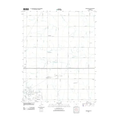
2012 Map of Greenwich
USGS Topo · Published 2012About this map
Greenwich and the expanding northern reaches of Wichita anchor this landscape, where early pioneer heritage meets modern infrastructure. The map reveals a high concentration of historical burial grounds, including the Union Cem, Fairview Cem, and the Lorraine Avenue Mennonite Cem, providing vital clues for genealogical research in this part of Sedgwick County. The drainage patterns of Whitewater Cr and Prairie Cr weave through the section lines, defining the natural breaks in a strictly gridded agricultural and residential layout.
Find a feature on this map
64 named features on this map. Tap any name to fly to it.
Don’t see what you’re looking for? This feature index may not catch every label — zoom into the map to look around manually.
Map Details
Editions of this 2012 Greenwich Map
This is the sole edition of this map. No revisions or reprints were ever made.
Other maps of this area

1889 · Wichita
USGS Topo · 1:125,000

1894 · Wichita
USGS Topo · 1:125,000

1941 · Valley Center
USGS Topo · 1:31,680

1942 · Valley Center
USGS Topo · 1:31,680

1943 · Wichita East
USGS Topo · 1:31,680

1945 · Andover
USGS Topo · 1:31,680

1955 · Santa Fe Lake
USGS Topo · 1:24,000

1955 · Benton
USGS Topo · 1:24,000

1955 · Greenwich
USGS Topo · 1:24,000

1955 · Wichita
USGS Topo · 1:250,000