
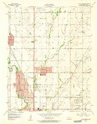
1955 Map of Greenwich
USGS Topo · Published 1956About this map
The settlement of Greenwich serves as a central hub in this mid-century survey, situated at the intersection of the Chicago Rock Island and Pacific and the Missouri Pacific railroads. The landscape is a patchwork of agricultural townships including Lincoln, Murdock, Payne, and Benton, divided by the prominent Old Indian Boundary line. Rural life is anchored by several community landmarks such as Palmyra Ch and a collection of local burial grounds like Old Benton Cem and Cottonwood Cem.
Find a feature on this map
30 named features on this map. Tap any name to fly to it.
Don’t see what you’re looking for? This feature index may not catch every label — zoom into the map to look around manually.
Map Details
Editions of this 1955 Greenwich Map
This is the sole edition of this map. No revisions or reprints were ever made.
Other maps of this area

1889 · Wichita
USGS Topo · 1:125,000

1894 · Wichita
USGS Topo · 1:125,000

1941 · Valley Center
USGS Topo · 1:31,680

1942 · Valley Center
USGS Topo · 1:31,680

1943 · Wichita East
USGS Topo · 1:31,680

1945 · Andover
USGS Topo · 1:31,680

1955 · Santa Fe Lake
USGS Topo · 1:24,000

1955 · Benton
USGS Topo · 1:24,000

1955 · Wichita
USGS Topo · 1:250,000
1956 · Valley Center
USGS Topo · 1:24,000