1960 Map of Greenwich
USGS Topo · Published 1980About this map
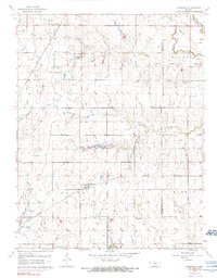
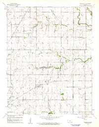
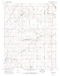
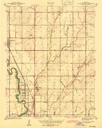
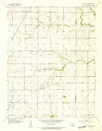
The Greenwich settlement serves as the focal point of this Kansas prairie landscape, situated where the Missouri Pacific railroad intersects with local agricultural life. This 1960 revision reveals an economy shaped by both traditional farming and industrial extraction, evidenced by several Oil Field labels and a network of pipelines cutting across the terrain. The presence of the Old Indian Boundary provides a significant historical marker for researchers, delineating former territorial lines that predated the established township grids of Lincoln, Murdock, Payne, and Benton. Waterways like the Whitewater River and Prairie Creek define the drainage patterns, while scattered community landmarks such as Palmyra Ch and the Piper Airport illustrate the infrastructure of a mid-century rural community. Genealogists will find a high concentration of burial sites for family research, including Cottonwood Cem, Old Benton Cem, and Fairview Cem.
Find a feature on this map
23 named features on this map. Tap any name to fly to it.
Don’t see what you’re looking for? This feature index may not catch every label — zoom into the map to look around manually.
Map Details
Editions of this 1960 Greenwich Map
3 editions found
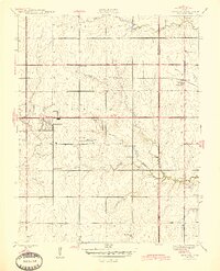
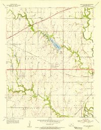
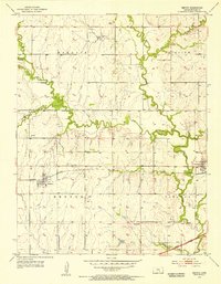
Other maps of this area

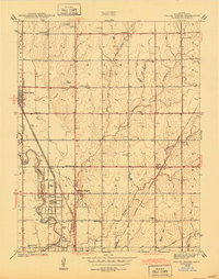
1889 · Wichita
USGS Topo · 1:125,000

1894 · Wichita
USGS Topo · 1:125,000
1941 · Valley Center
USGS Topo · 1:31,680
1942 · Valley Center
USGS Topo · 1:31,680

1943 · Wichita East
USGS Topo · 1:31,680
1945 · Andover
USGS Topo · 1:31,680
1955 · Santa Fe Lake
USGS Topo · 1:24,000
1955 · Benton
USGS Topo · 1:24,000
1955 · Greenwich
USGS Topo · 1:24,000

1955 · Wichita
USGS Topo · 1:250,000