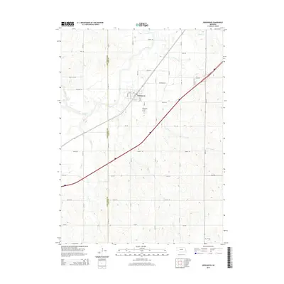
2014 Map of Greenwood
USGS Topo · Published 2014About this map
Greenwood sits at a geographic crossroads along the border of Lancaster and Cass Counties, defined by a dense network of prairie creeks and long-established section roads. The landscape is deeply carved by water, with Salt Creek and its many tributaries, including Greenwood Creek, Dee Creek, and Robinson Branch, creating a complex drainage pattern across the terrain. These waterways historically dictated the layout of transportation and settlement in this part of eastern Nebraska.
Find a feature on this map
26 named features on this map. Tap any name to fly to it.
Don’t see what you’re looking for? This feature index may not catch every label — zoom into the map to look around manually.
Map Details
Editions of this 2014 Greenwood Map
This is the sole edition of this map. No revisions or reprints were ever made.
Other maps of this area

1893 · Fremont
USGS Topo · 1:125,000

1896 · Fremont
USGS Topo · 1:125,000

1897 · Lincoln
USGS Topo · 1:125,000

1899 · Wahoo
USGS Topo · 1:125,000

1903 · Weeping Water
USGS Topo · 1:125,000

1929 · Weeping Water
USGS Topo · 1:125,000

1955 · Fremont
USGS Topo · 1:250,000

1955 · Lincoln
USGS Topo · 1:250,000

1957 · Fremont
USGS Topo · 1:250,000

1957 · Lincoln
USGS Topo · 1:250,000