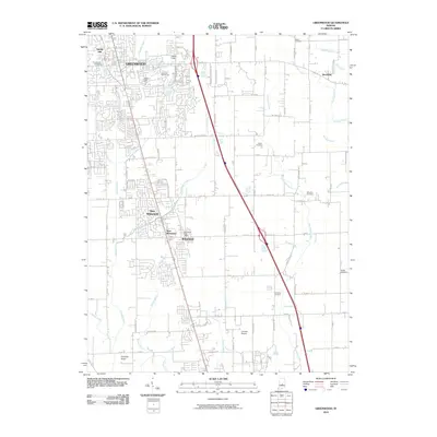
2010 Map of Greenwood
USGS Topo · Published 2010About this map
Greenwood and its surrounding communities are shown here during a period of significant suburban expansion south of Indianapolis. The map details the interconnected residential developments of New Whiteland, West Whiteland, and Whiteland, illustrating how modern infrastructure follows the paths of older agricultural drainages like Grassy Creek and Brewer Ditch. Local history is preserved in numerous family and community burial grounds, including Nolan Cemetery near Rocklane and the Hurricane Cemetery to the south.
Find a feature on this map
79 named features on this map. Tap any name to fly to it.
Don’t see what you’re looking for? This feature index may not catch every label — zoom into the map to look around manually.
Map Details
Editions of this 2010 Greenwood Map
This is the sole edition of this map. No revisions or reprints were ever made.
Other maps of this area

1942 · Franklin
USGS Topo · 1:125,000

1942 · Columbus
USGS Topo · 1:125,000

1947 · Franklin
USGS Topo · 1:62,500

1948 · Franklin
USGS Topo · 1:24,000

1948 · Maywood
USGS Topo · 1:24,000

1948 · Beech Grove
USGS Topo · 1:24,000

1948 · Trafalgar
USGS Topo · 1:24,000

1948 · Marietta
USGS Topo · 1:24,000

1950 · Franklin
USGS Topo · 1:62,500

1950 · Edinburg
USGS Topo · 1:62,500