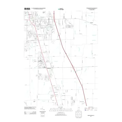
2013 Map of Greenwood
USGS Topo · Published 2013About this map
New Whiteland and the neighboring settlements of Whiteland and West Whiteland form a central corridor of development in this Johnson County landscape. The topography is defined by a dense network of water management features, where traditional creek names like Pleasant Run Creek and Youngs Creek give way to an intricate system of engineered drainage, including Tracy Ditch, Brewer Ditch, and Cutsinger Ditch. This transition reflects the area's agricultural heritage and its suburban expansion south of Indianapolis.
Find a feature on this map
259 named features on this map. Tap any name to fly to it.
Don’t see what you’re looking for? This feature index may not catch every label — zoom into the map to look around manually.
Map Details
Editions of this 2013 Greenwood Map
This is the sole edition of this map. No revisions or reprints were ever made.
Other maps of this area

1942 · Franklin
USGS Topo · 1:125,000

1942 · Columbus
USGS Topo · 1:125,000

1947 · Franklin
USGS Topo · 1:62,500

1948 · Franklin
USGS Topo · 1:24,000

1948 · Maywood
USGS Topo · 1:24,000

1948 · Beech Grove
USGS Topo · 1:24,000

1948 · Trafalgar
USGS Topo · 1:24,000

1948 · Marietta
USGS Topo · 1:24,000

1950 · Franklin
USGS Topo · 1:62,500

1950 · Edinburg
USGS Topo · 1:62,500