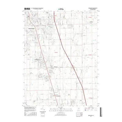
2016 Map of Greenwood
USGS Topo · Published 2016About this map
Greenwood and the expanding residential corridors of Whiteland and New Whiteland dominate the central landscape of Johnson County in this 2016 survey. The map records a transition from traditional agricultural patterns to suburban development, anchored by major transportation arteries like I-65 and Us HWY 31. Amidst this growth, numerous local landmarks persist, including Greenwood Cem and the small settlement of Rocklane near the eastern edge. Local aviation is represented by both the Greenwood Municipal Airport and Canary's Airport, showing the area's modern infrastructure.
Find a feature on this map
46 named features on this map. Tap any name to fly to it.
Don’t see what you’re looking for? This feature index may not catch every label — zoom into the map to look around manually.
Map Details
Editions of this 2016 Greenwood Map
This is the sole edition of this map. No revisions or reprints were ever made.
Other maps of this area

1942 · Franklin
USGS Topo · 1:125,000

1942 · Columbus
USGS Topo · 1:125,000

1947 · Franklin
USGS Topo · 1:62,500

1948 · Franklin
USGS Topo · 1:24,000

1948 · Maywood
USGS Topo · 1:24,000

1948 · Beech Grove
USGS Topo · 1:24,000

1948 · Trafalgar
USGS Topo · 1:24,000

1948 · Marietta
USGS Topo · 1:24,000

1950 · Franklin
USGS Topo · 1:62,500

1950 · Edinburg
USGS Topo · 1:62,500